<< Our Photo Pages >> Bedd Arthur - Stone Circle in Wales in Pembrokeshire
Submitted by vicky on Friday, 16 July 2021 Page Views: 35899
Neolithic and Bronze AgeSite Name: Bedd Arthur Alternative Name: Arthur's Grave, BeddarthurCountry: Wales County: Pembrokeshire Type: Stone Circle
Nearest Town: Cardigan Nearest Village: Mynachlog-ddu
Map Ref: SN13053251 Landranger Map Number: 145
Latitude: 51.959559N Longitude: 4.722336W
Condition:
| 5 | Perfect |
| 4 | Almost Perfect |
| 3 | Reasonable but with some damage |
| 2 | Ruined but still recognisable as an ancient site |
| 1 | Pretty much destroyed, possibly visible as crop marks |
| 0 | No data. |
| -1 | Completely destroyed |
| 5 | Superb |
| 4 | Good |
| 3 | Ordinary |
| 2 | Not Good |
| 1 | Awful |
| 0 | No data. |
| 5 | Can be driven to, probably with disabled access |
| 4 | Short walk on a footpath |
| 3 | Requiring a bit more of a walk |
| 2 | A long walk |
| 1 | In the middle of nowhere, a nightmare to find |
| 0 | No data. |
| 5 | co-ordinates taken by GPS or official recorded co-ordinates |
| 4 | co-ordinates scaled from a detailed map |
| 3 | co-ordinates scaled from a bad map |
| 2 | co-ordinates of the nearest village |
| 1 | co-ordinates of the nearest town |
| 0 | no data |
Internal Links:
External Links:
I have visited· I would like to visit
woodini254 Serenstar EddySteadyCook Gryffincoch would like to visit
Couplands visited on 17th Oct 2023 - their rating: Cond: 2 Amb: 3 Access: 1
PAB have visited here
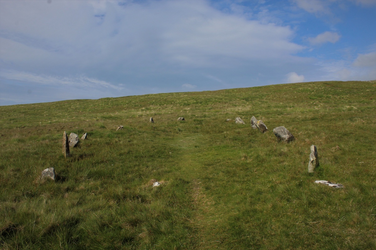
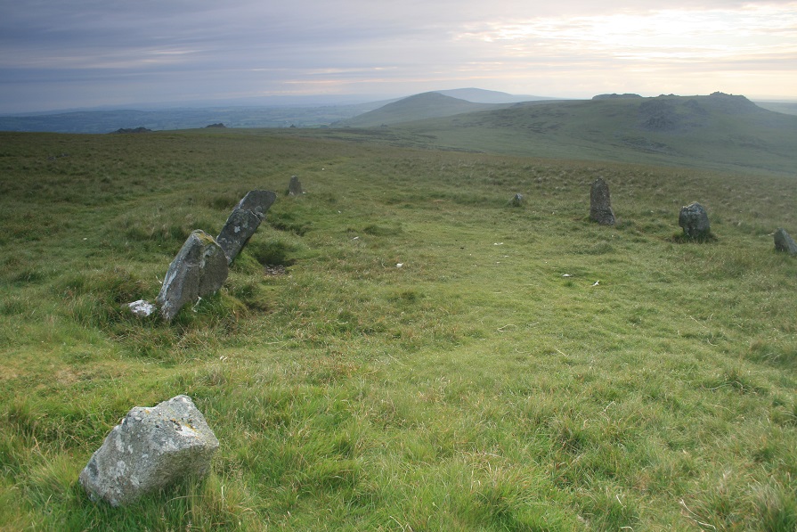
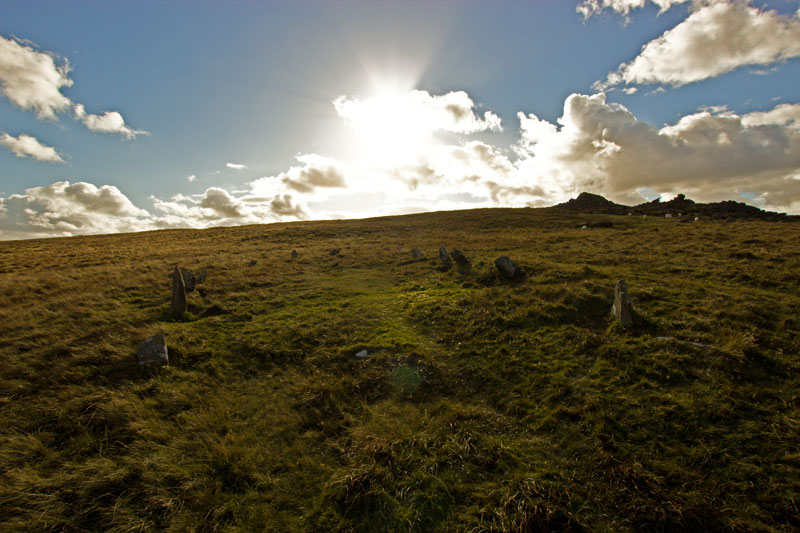
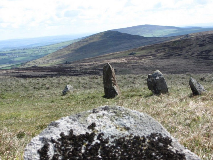
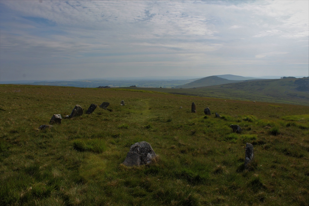
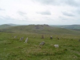
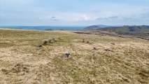
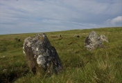
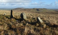
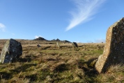
Translated as 'The Grave of Arthur', it comprises thirteen small standing stones along with two or three more now fallen. Some believe it may be a henge - as it lies adjacent to the ancient trackway which runs to Carn Meini (and then on to the hillfort of Foel Drygarn) this would make sense. Access is via this ancient trackway (now a public footpath) with a reasonably gentle walk over from Carn Meini.
You may be viewing yesterday's version of this page. To see the most up to date information please register for a free account.








These are just the first 25 photos of Bedd Arthur. If you log in with a free user account you will be able to see our entire collection.
Do not use the above information on other web sites or publications without permission of the contributor.
Click here to see more info for this site
Nearby sites
Key: Red: member's photo, Blue: 3rd party photo, Yellow: other image, Green: no photo - please go there and take one, Grey: site destroyed
Download sites to:
KML (Google Earth)
GPX (GPS waypoints)
CSV (Garmin/Navman)
CSV (Excel)
To unlock full downloads you need to sign up as a Contributory Member. Otherwise downloads are limited to 50 sites.
Turn off the page maps and other distractions
Nearby sites listing. In the following links * = Image available
186m SW 232° Carn Bica* Cairn (SN129324)
427m SE 128° Carn Arthur* Natural Stone / Erratic / Other Natural Feature (SN1337532232)
803m NNW 342° Carngoedog* Ancient Mine, Quarry or other Industry (SN1283133283)
835m E 89° Stone River Stone* Standing Stone (Menhir) (SN1388832496)
870m E 86° Carn Breseb Pointer* Standing Stone (Menhir) (SN1392332532)
951m E 82° Carn Menyn* Round Cairn (SN140326)
983m E 81° Carn Meini Tomb* Chambered Tomb (SN14033262)
996m S 191° Carn Sian - unknown* Cairn (SN1282431539)
1.0km S 188° Carn Sian Linear feature* Stone Row / Alignment (SN1286831525)
1.0km S 184° Carn Sian Cairn* Not Known (by us) (SN1294231474)
1.1km ENE 67° Carn Gwr Cairn (SN14083290)
1.1km ENE 70° Carn Gwr Sourthern Cairn Cairn (SN14113285)
1.2km E 92° Carn Menyn - Worked Stone* Ancient Mine, Quarry or other Industry (SN1423132432)
1.2km E 85° Carn Menyn Marker* Standing Stone (Menhir) (SN1424132570)
1.2km SSE 166° Craig Talfynedd Ancient Village or Settlement (SN133313)
1.4km E 89° Carn Meini* Ancient Mine, Quarry or other Industry (SN1441432482)
1.4km E 84° Carngyfrwy Round Barrow(s) (SN145326)
1.5km NNE 33° Carn Alw* Ancient Village or Settlement (SN139337)
1.6km ESE 124° Carn Menyn (Gate Post?)* Standing Stone (Menhir) (SN1438131557)
1.9km SW 217° Cwm Garw* Standing Stones (SN11823102)
2.1km SSE 167° Mynachlog-ddu stones* Standing Stones (SN13433049)
2.2km SSE 165° Bluestones Monument* Modern Stone Circle etc (SN13533038)
2.2km W 261° Cerrigmarchogion* Rock Outcrop (SN10853225)
2.3km SSE 166° Waldo Memorial* Modern Stone Circle etc (SN13523027)
2.3km ENE 76° Carn Ferched Cairn* Round Cairn (SN153330)
View more nearby sites and additional images


