<< Our Photo Pages >> Coyote Hills Shellmound ALA 329 - Artificial Mound in United States in The West
Submitted by symbionspacesuit on Sunday, 14 March 2010 Page Views: 20021
Pre-ColumbianSite Name: Coyote Hills Shellmound ALA 329 Alternative Name: Ryan MoundCountry: United States
NOTE: This site is 29.068 km away from the location you searched for.
Region: The West Type: Artificial Mound
Nearest Town: Newark Nearest Village: Fremont
Latitude: 37.558062N Longitude: 122.082116W
Condition:
| 5 | Perfect |
| 4 | Almost Perfect |
| 3 | Reasonable but with some damage |
| 2 | Ruined but still recognisable as an ancient site |
| 1 | Pretty much destroyed, possibly visible as crop marks |
| 0 | No data. |
| -1 | Completely destroyed |
| 5 | Superb |
| 4 | Good |
| 3 | Ordinary |
| 2 | Not Good |
| 1 | Awful |
| 0 | No data. |
| 5 | Can be driven to, probably with disabled access |
| 4 | Short walk on a footpath |
| 3 | Requiring a bit more of a walk |
| 2 | A long walk |
| 1 | In the middle of nowhere, a nightmare to find |
| 0 | No data. |
| 5 | co-ordinates taken by GPS or official recorded co-ordinates |
| 4 | co-ordinates scaled from a detailed map |
| 3 | co-ordinates scaled from a bad map |
| 2 | co-ordinates of the nearest village |
| 1 | co-ordinates of the nearest town |
| 0 | no data |
Internal Links:
External Links:
I have visited· I would like to visit
Rileyy visited - their rating: Cond: 2 Amb: 4 Access: 4
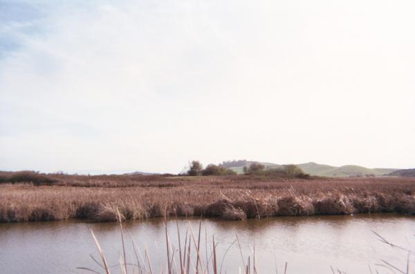
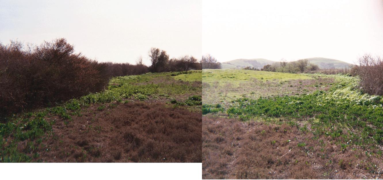
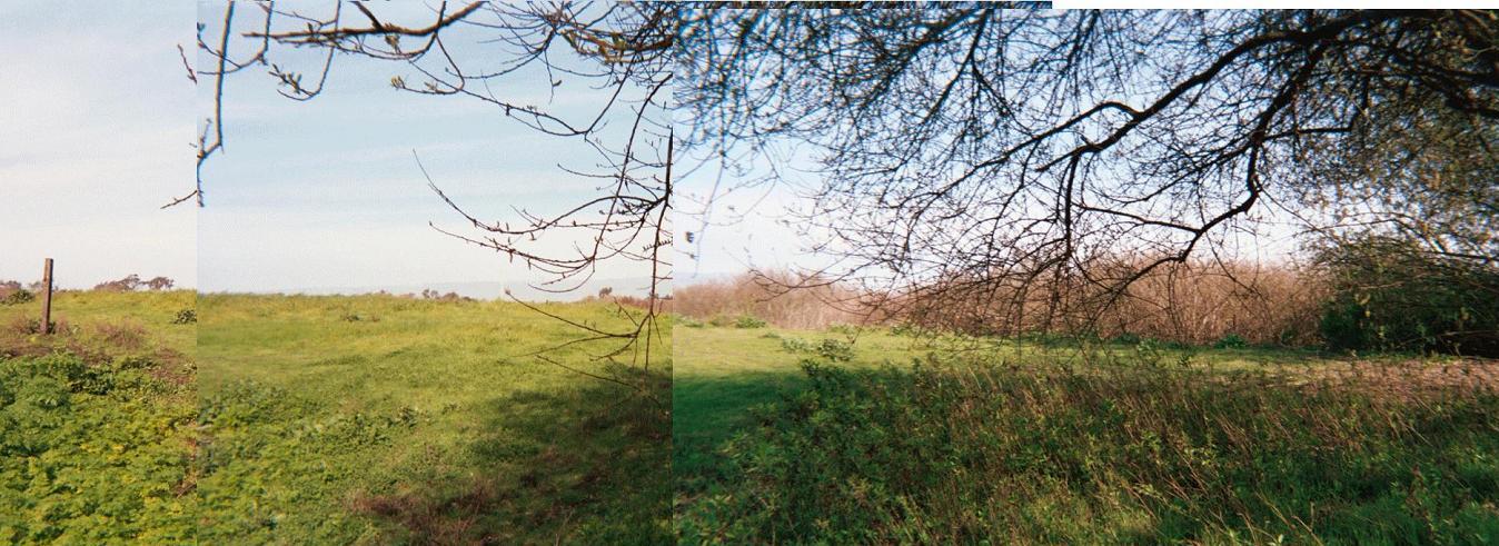
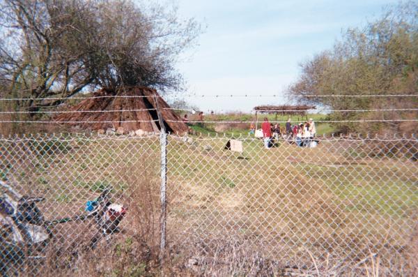
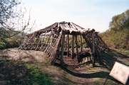
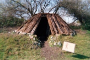
Ryan Mound was recorded as Mound ALA 329 by Nels C. Nelson in 1909. Shell Mound ALA 329 is approx. 400 by 298 feet at the base, a 200 by 101 feet diameter at the top of the mound, and it rises to an elevation of 10 feet above the alluvial plain along the Alameda Creek. The shell mound has a replication of an Tiburon Ohlone village built on top of it, including a pit house, tule house, and sweat lodge. Excavations on the shell mound from 1935 to 1972 uncovered approximately 500 human burials, a quantity of abalone "banjo" pendants, as well as fishing hooks, harpoons, obsidian spear & arrow heads, pestles and cobblestone. Ryan mound (ALA 329) and Patterson mound (ALA 328) along with shell mounds ALA 12 and ALA 13 lying within a mile away, form the Coyote Hills Mound Cluster.
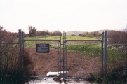
Ryan Mound ALA 329 has a fence around it and is only open on shceduled public openings or by group reservation. The interpretive center has a little on the Tiburon Ohlone way of life, but there is no mention of shell mounds or Moundbuilder culture in the bay. The only reference to it being Ryan Mound is the site number(ALA 329) on the no trespassing sign or the small shellmound trail marker. There is no mention of the existence or location of Patterson mound(ALA 328) or either of the other mounds which make up the Coyote Hills Mound Cluster.
Note: Several fascinating sites in California added
You may be viewing yesterday's version of this page. To see the most up to date information please register for a free account.

Do not use the above information on other web sites or publications without permission of the contributor.
Click here to see more info for this site
Nearby sites
Click here to view sites on an interactive map of the areaKey: Red: member's photo, Blue: 3rd party photo, Yellow: other image, Green: no photo - please go there and take one, Grey: site destroyed
Download sites to:
KML (Google Earth)
GPX (GPS waypoints)
CSV (Garmin/Navman)
CSV (Excel)
To unlock full downloads you need to sign up as a Contributory Member. Otherwise downloads are limited to 50 sites.
Turn off the page maps and other distractions
Nearby sites listing. In the following links * = Image available
36.1km NNW 329° Emeryville Shellmound* Artificial Mound
39.5km NNW 331° West Berkeley Shell Mound* Artificial Mound
53.2km NW 318° Ring Mountain Carving
56.8km S 174° Scotts Valley City Hall Artifact Display* Museum
64.4km S 186° Sand Hill Bluff Shellmound* Artificial Mound
69.0km SSE 147° Chitactac-Adams Heritage County Park* Ancient Village or Settlement
69.5km W 264° East Bay Walls* Stone Row / Alignment
87.5km SSE 162° Moss Landing Shellmound* Artificial Mound
107.1km S 171° Monterey Indian Stone* Rock Art
119.7km NW 314° Bodega Head Shellmound* Artificial Mound
120.2km NW 315° Bodega Harbor Shellmound* Artificial Mound
128.5km NW 317° Duncans Landing Rockshelter* Cave or Rock Shelter
129.5km NNW 337° Knight's valley stone Rock Art
150.2km NNE 29° Maidu Indian Interpretive Center* Ancient Village or Settlement
164.4km NNW 330° Cloverdale Stone Rock Art
199.4km ENE 58° Miwok Salt Basins Ancient Mine, Quarry or other Industry
243.4km NW 323° Van Damme State Park Shellmounds* Artificial Mound
266.0km SSE 155° Morro Creek* Ancient Village or Settlement
272.8km SSE 155° Los Osos Back Bay* Ancient Village or Settlement
276.3km ENE 63° Pillars (Nevada)* Cairn
325.0km E 93° Bishop Eastern Sierra Petroglyphs* Rock Art
334.0km SE 143° Painted Rock, Carrizo Plain* Rock Art
344.5km ESE 118° Painted Rock at Tule River Rock Art
363.2km NE 55° Grimes Point Arch. Area* Cave or Rock Shelter
374.8km NE 39° Winnemucca Lake Petroglyphs* Rock Art
View more nearby sites and additional images


 We would like to know more about this location. Please feel free to add a brief description and any relevant information in your own language.
 Wir möchten mehr über diese Stätte erfahren. Bitte zögern Sie nicht, eine kurze Beschreibung und relevante Informationen in Deutsch hinzuzufügen.
 Nous aimerions en savoir encore un peu sur les lieux. S'il vous plaît n'hesitez pas à ajouter une courte description et tous les renseignements pertinents dans votre propre langue.
 Quisieramos informarnos un poco más de las lugares. No dude en añadir una breve descripción y otros datos relevantes en su propio idioma.