<< Our Photo Pages >> Rome. - Ancient Village or Settlement in Italy in Lazio/Roma
Submitted by AlexHunger on Wednesday, 01 July 2020 Page Views: 15435
Multi-periodSite Name: Rome.Country: Italy
NOTE: This site is 2.096 km away from the location you searched for.
Region: Lazio/Roma Type: Ancient Village or Settlement
Nearest Town: Roma Nearest Village: Rome
Latitude: 41.892400N Longitude: 12.484400E
Condition:
| 5 | Perfect |
| 4 | Almost Perfect |
| 3 | Reasonable but with some damage |
| 2 | Ruined but still recognisable as an ancient site |
| 1 | Pretty much destroyed, possibly visible as crop marks |
| 0 | No data. |
| -1 | Completely destroyed |
| 5 | Superb |
| 4 | Good |
| 3 | Ordinary |
| 2 | Not Good |
| 1 | Awful |
| 0 | No data. |
| 5 | Can be driven to, probably with disabled access |
| 4 | Short walk on a footpath |
| 3 | Requiring a bit more of a walk |
| 2 | A long walk |
| 1 | In the middle of nowhere, a nightmare to find |
| 0 | No data. |
| 5 | co-ordinates taken by GPS or official recorded co-ordinates |
| 4 | co-ordinates scaled from a detailed map |
| 3 | co-ordinates scaled from a bad map |
| 2 | co-ordinates of the nearest village |
| 1 | co-ordinates of the nearest town |
| 0 | no data |
Internal Links:
External Links:
I have visited· I would like to visit
XIII visited on 4th Aug 2015 - their rating: Cond: 2 Amb: 4 Access: 5
ELindey visited on 26th Jun 2011 - their rating: Cond: 2 Amb: 3 Access: 5
blackfox visited on 1st Jan 2000 - their rating: Cond: 5 Amb: 5 Access: 5
Megalithic89 visited on 1st Jul 1988 - their rating: Cond: 5 Amb: 5 Access: 5
Andy B: would like to visit Visited in episode one of the BBC TV series Divine Women by Bettany Hughes. More on Early Christian Basilicas here
NorthernerInLondon visited - their rating: Cond: 4 Amb: 3 Access: 5
CoppellaiaMatta davidmorgan have visited here
Average ratings for this site from all visit loggers: Condition: 3.6 Ambience: 4 Access: 5
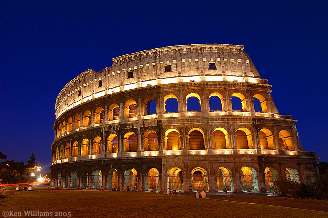
The Etruscans furnished some of the later kings of Rome, but after Tarquinus made himself unpopular, the monarchy was abolished and Rome was a republic until the murder of Julius Caesar in 44 BCE.
Augustus was the first of a long Line of emperors, which only ended with the invasion of the Visigoths in the 5th Century.
Not much of Republican Rome remains other than small temples in the Area Sacra, formerly in the Campus Martius district, but the columns and brick walls of ancient monuments abound in the modern Italian capital.
Note: Video talk: Virtual Rome - creating a large scale digital model of the ancient city, with Matthew Nicholls (Oxford; University of Reading) - July 8th 17:30 UK Time - more in the comments on our page
You may be viewing yesterday's version of this page. To see the most up to date information please register for a free account.
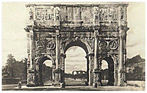




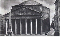

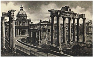
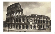
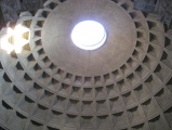


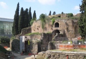
These are just the first 25 photos of Rome.. If you log in with a free user account you will be able to see our entire collection.
Do not use the above information on other web sites or publications without permission of the contributor.
Click here to see more info for this site
Nearby sites
Click here to view sites on an interactive map of the areaKey: Red: member's photo, Blue: 3rd party photo, Yellow: other image, Green: no photo - please go there and take one, Grey: site destroyed
Download sites to:
KML (Google Earth)
GPX (GPS waypoints)
CSV (Garmin/Navman)
CSV (Excel)
To unlock full downloads you need to sign up as a Contributory Member. Otherwise downloads are limited to 50 sites.
Turn off the page maps and other distractions
Nearby sites listing. In the following links * = Image available
381m NNW 333° Lupercale Shrine* Cave or Rock Shelter
850m NW 318° Sais - Piazza Minerva Obelisk* Standing Stone (Menhir)
1.5km NE 45° Heliopolis Ramesses II Termini Obelisk* Standing Stone (Menhir)
1.8km ESE 111° Karnak Temple of Amun Lateran Obelisk* Standing Stone (Menhir)
2.1km NNW 342° Heliopolis Seti I Piazza del Popolo Obelisk* Standing Stone (Menhir)
2.9km WNW 302° Gregorian Etruscan Museum* Museum
26.5km SE 135° Nemi Temple of Diana* Ancient Temple
34.2km WNW 292° Cerveteri Necropoli della Banditaceia* Rock Cut Tomb
43.9km NNW 331° Sutri amphitheatre* Ancient Village or Settlement
44.0km NNW 331° Sutri Necropolis* Rock Cut Tomb
48.3km SSE 160° Nettuno Tomb Burial Chamber or Dolmen
49.8km ESE 116° Giunone Moneta (Segni)* Ancient Village or Settlement
51.9km SE 130° Antica Norba* Ancient Village or Settlement
52.9km NW 321° Barbarano Romano Etruscan Necropolis Chambered Tomb
53.3km NW 314° Civitella Cesi Etruscan Tomb* Rock Cut Tomb
54.4km NW 313° Casale Vignale Necropolis Chambered Cairn
58.5km NW 318° Pian di Vescovo Rock Cut Tomb
62.1km NNW 338° Mount Cimino Votive Site* Ancient Temple
66.6km NW 318° Norchia Etruscan Necropolis* Rock Cut Tomb
68.0km NNW 344° Bomarzo Etruscan 'Pyramid' Altar* Ancient Temple
69.6km NW 306° Tarquinia* Ancient Village or Settlement
73.5km ESE 102° Alatri Temple* Ancient Temple
73.6km ESE 104° Alatri Acropolis* Hillfort
82.3km NW 315° San Giulano Rock Cut tombs Rock Cut Tomb
83.3km N 4° Carsulae Ancient Village or Settlement
View more nearby sites and additional images


 We would like to know more about this location. Please feel free to add a brief description and any relevant information in your own language.
 Wir möchten mehr über diese Stätte erfahren. Bitte zögern Sie nicht, eine kurze Beschreibung und relevante Informationen in Deutsch hinzuzufügen.
 Nous aimerions en savoir encore un peu sur les lieux. S'il vous plaît n'hesitez pas à ajouter une courte description et tous les renseignements pertinents dans votre propre langue.
 Quisieramos informarnos un poco más de las lugares. No dude en añadir una breve descripción y otros datos relevantes en su propio idioma.