[< Gallery Home | Latest Images | Top 100 | Submit Picture >]
260355 Pictures

Gallery Home >> England >> Cumbria >> Fairy Well (Aikton)

<< Previous Picture | Next Picture >>

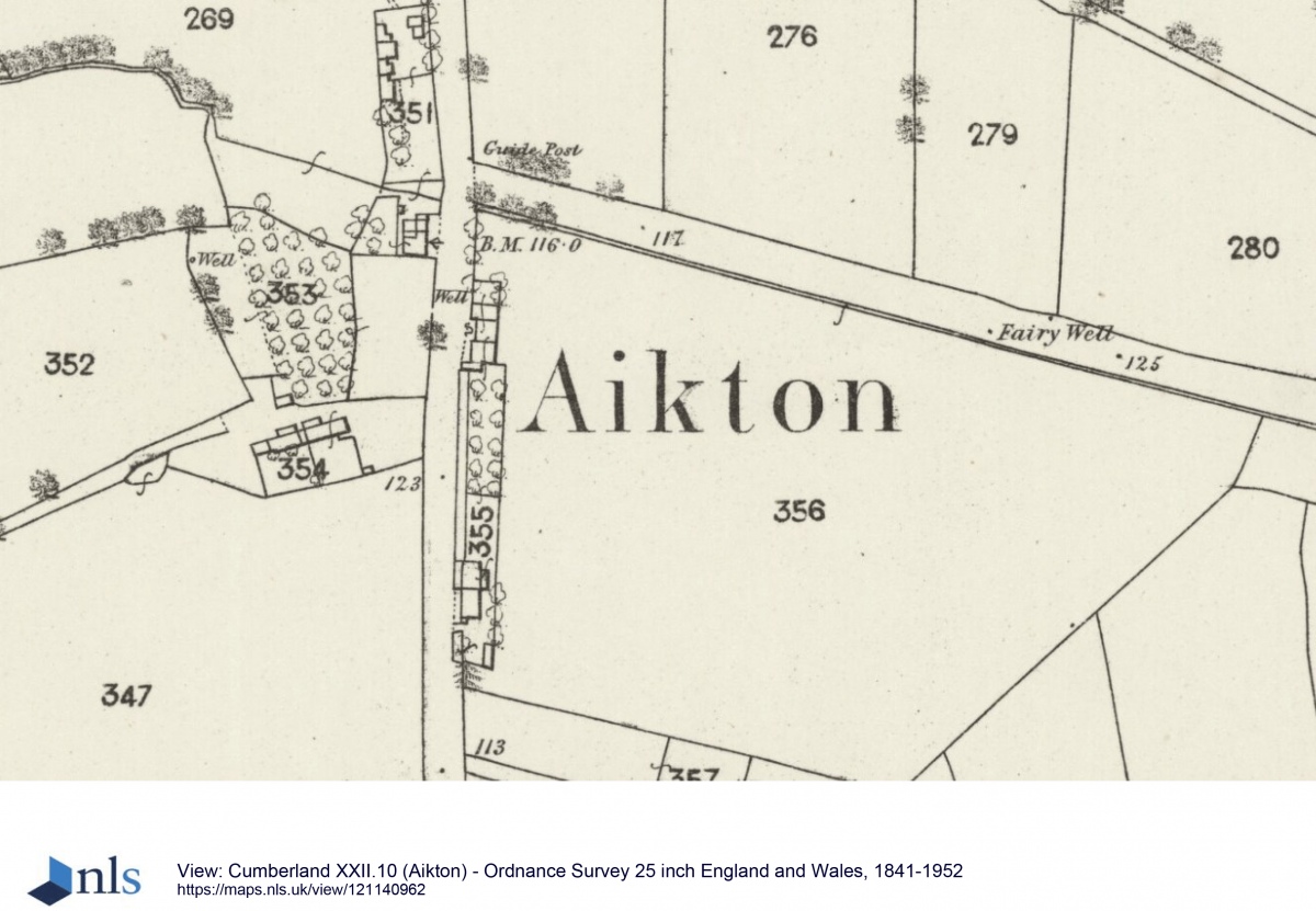
Courtesy of the National Library of Scotland, this is the 1864 OS map (25 inch), showing the location of Fairy Well.  There are two dots shown at this location.  On the northern side of the road, there was nothing visible, only vague signs of water emerging from the base of the hedge on the south side.  See 1864 OS map 25 inch Aikton.
Submitted byAnne T
AddedJun 04 2022
Hits90
Votes0
Vote for this image in our photo competition
Start a Site visit log
I have visited

Description
Courtesy of the National Library of Scotland, this is the 1864 OS map (25 inch), showing the location of Fairy Well. There are two dots shown at this location. On the northern side of the road, there was nothing visible, only vague signs of water emerging from the base of the hedge on the south side. See 1864 OS map 25 inch Aikton.

No comments. Why don't you go ahead and post one!

To post comments first you must Register!

Megalithic Portal eGallery, images of megaliths and prehistoric sites worldwide, free to view.