Contributory members are able to log private notes and comments about each site
Sites Anne T has logged on trip number: 35 (View all trips)
View this log as a table or view the most recent logs from everyone
Newhall Hill (Paddockhole)
Trip No.35 Entry No.3 Date Added: 26th Jul 2017
Site Type: Ancient Village or Settlement
Country: Scotland (Scottish Borders)
Visited: Yes on 24th Jul 2017. My rating: Condition 2 Ambience 4 Access 3

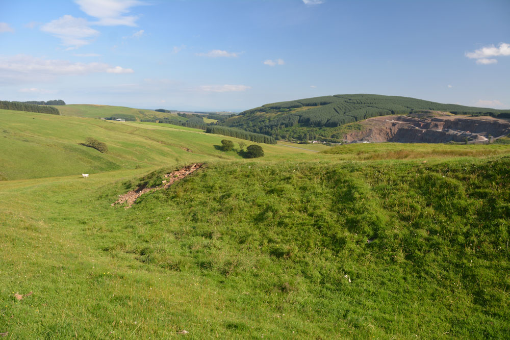
Newhall Hill (Paddockhole) submitted by Anne T on 26th Jul 2017. First glimpse of Settlement B which is the lower of the two settlements on Newhall Hill. There is a massive earthen bank with a deep outer ditch. The curving banks make it look round, but it is fact rectangular with rounded edges. This photo looks over the entrance in the south east.
(View photo, vote or add a comment)
Log Text: Newhall Hill Settlements, near Paddockhill, Scottish Borders: From Little Hill, we thought we’d stop off at Balliehill Hillfort again, but driving up to it, it was covered in enormous cattle grazing contentedly within it. Taking one look, we decided to press onto Newhall Farm. Following the minor road that runs alongside the western bank of the Water of Milk, we enjoyed the views down the valley. Reaching Paddockhill, we turned right, then immediately right again, over Paddockhill Bridge and followed the road through Newhall Farm to a small bridge hidden between the trees. We couldn’t see the burn as it was being used as a dump for old industrial pipes and equipment, fencing and telegraph poles, but just before the bridge was a small area which had been hard-cored, so we parked there. The gate to the two tracks leading up Newhall Hill was just behind us. Taking the right hand track, we plodded up this steeper-than-it-looked hill. Would it never end??
Eventually the track ran out and we set off across the pasture to find the settlements. I heard the noise of a quad bike and the farmer appeared, with this two dogs, over the top of a hill, screeching to a halt in front of me. I thought he was going to hit me, so took a large backwards step, but he stopped in time. “Nearer to heaven here’ he said and pointed to all the wind farms surrounded the hill. “Don’t think they do any harm, do they?” he added. I put my hand out to stroke one of the dogs and the farmer barked at me: “Don’t! He’ll have your hand off.” He told us the settlements were just over the next small brow on the hill, said he lived at the small farm yonder rather than the big one down in the valley below that we could see, then hared off at great speed with both dogs balancing on the back of the quad bike.
Two hundred yards further on, a deep ditch and large bank of Settlement B came into view, complete with eyesore of a very large quarry beyond.
I walked all round the outer bank of the lower settlement, then went into the inside. Apart from a very boggy part, which looked like it might have been a well at some point, we couldn’t make out any features internally.
I would have liked to have walked up the hill to Settlement A but the heads and bodies of some very lively bullocks kept watching us. I didn’t fancy being surrounded by them, so we decided to walk back down to the car.
We would have ended up at the Severn Brethren stone circle, but as we neared it, realised we’d been here before, and it was very unremarkable.
Little Hill (Craig)
Trip No.35 Entry No.2 Date Added: 26th Jul 2017
Site Type: Hillfort
Country: Scotland (Scottish Borders)
Visited: Yes on 24th Jul 2017. My rating: Condition 2 Ambience 4 Access 4

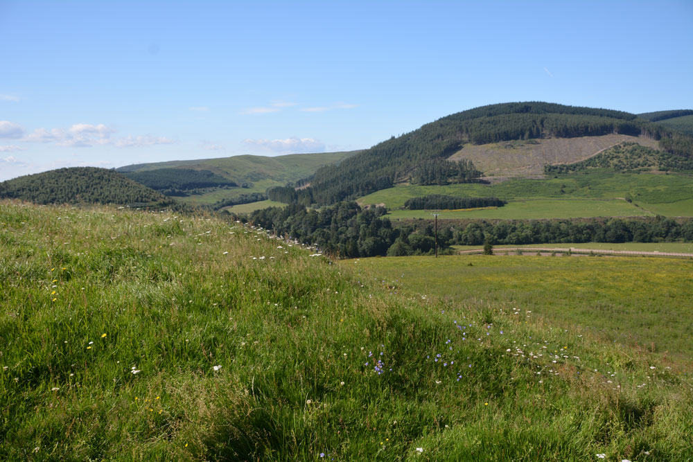
Little Hill (Craig) submitted by Anne T on 26th Jul 2017. Standing in the middle of the entrance to the northern side of the hillfort looking more or less north over the Esk Valley below. There is an old hollow way which curves down to the modern road below.
(View photo, vote or add a comment)
Log Text: Little Hill Hillfort, Craig, Scottish Borders: This might be a 'short walk on a footpath', but it was a steady climb! After visiting Barntalloch Castle, we could see no way of getting into the old churchyard nearby, as it looked as if the building had been converted into a house. Mistake not to try, as Canmore said there was an inscribed stone.
We drove onto Little Hill, stopping to take a photograph of Barntalloch from a layby on the B709. The River Esk looks glorious sparkling in the sunshine with its loops and cobble banks.
There is a footpath/track leading up to Little Hill hillfort from just before the bend at Craig at NY 33656 88271, where there was room to tuck the car in at its junction with the road. There has been lots of activity with telegraph poles in this area, with lots of spare ones lying around; in fact climbing up the hill they got in the way of the view over to the west until we got above them. Craig Hill to the south of Little Hill looms large and dominates the scenery; there is also a settlement on its lower slopes south of Little Hill, although we didn’t spot this on the climb up.
We left the stony track up the hill and followed what seemed to be a hollow way up to the fort, approaching this from its north western side where I spotted the well at NY 33858 88237, next to a cattle feeder.
This is a lovely spot with its flower meadows and virtually 360 degree views. There don’t seem to be any features in the interior, or at least we didn’t see them as the grass was so lush. Andrew thought he saw a couple of roundhouses, due to the change in vegetation, but I thought it was a bit of a stretch, but there were two circular areas that were slightly scooped and had less wild flowers within them.
I walked down to the south western (stem end of the pear) end of the fort, which is slightly separated from the rest of the fort by a dip, effectively splitting the fort in two.
On the way back down we stopped to photograph the entrance at the northern end of the fort. From here we could see the racing tracks of the race horse training stables in the valley below. There was also a line of stones running from approx.. NY 33920 88223 to NY 33978 88200 near the road also seems to follow the line of a water course. If you plot the points of the well and these stones, they seem to follow a straight line. Some of the taller stones also hide springs.
A lovely walk and well worth stopping. The views on a sunny, warm day like today were lovely. As I keep repeating, our ancestors chose some very nice places to live.
Barntalloch (Langholm)
Trip No.35 Entry No.1 Date Added: 27th Jul 2017
Site Type: Misc. Earthwork
Country: Scotland (Scottish Borders)
Visited: Yes on 24th Jul 2017. My rating: Condition 2 Ambience 3 Access 5

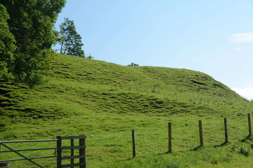
Barntalloch (Langholm) submitted by Anne T on 27th Jul 2017. First view of the motte as we took the south westerly track through the farmyard.
(View photo, vote or add a comment)
Log Text: Barntalloch Motte, Staplegordon, Langholm: It was dull and very wet at our house, and fed up of the rain, we decided to head off to the Scottish Borders for some sunny, 25 deg C weather. Landing in Langholm by 2.30pm, we stopped off for coffee and cake before heading off into the wilds of Eskdale.
I spotted this site on the map, just west of Langholm, down a small road leading to a hamlet called Staplegordon. It caught my eye because it not only had the motte but the remains of a chapel. I like looking around the gravestones.
We parked in what looked like a parking area for fishermen to the right of the far side of the bridge. There is actually another car park by the farm nearer to the motte. There are posts indicating the routes of different Langholm Walks.
Just past the farm to the left of the bridge, the track splits at NY 35445 87796. The northern section leads down to the old graveyard and a bungalow (looks like the chapel was converted into a dwelling). A track led through another farmyard to our left which curls to the south west, around the side of the motte.
The lady farmer roared up on her quad bike and stopped to say hello. She didn’t seem to mind us tramping through her farmyard, but wasn’t very forthcoming. When I got home and did some research on Canmore, I found out that the old chapel was supposed to have an inscribed stone. We didn’t walk down there as we couldn’t see a way of reaching the churchyard except through the main gate of the cottage.
