Contributory members are able to log private notes and comments about each site
Sites Anne T has logged on trip number: 45 (View all trips)
View this log as a table or view the most recent logs from everyone
Coldburn (College Valley)
Trip No.45 Entry No.3 Date Added: 14th Sep 2017
Site Type: Ancient Village or Settlement
Country: England (Northumberland)
Visited: Yes on 12th Sep 2017. My rating: Condition 2 Ambience 4 Access 4

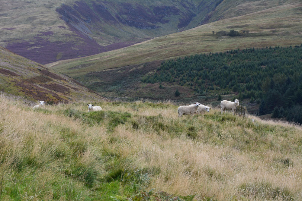
Coldburn (College Valley) submitted by Anne T on 14th Sep 2017. Having clambered up the steep(ish) hillside until the land levelled off, this is our first glimpse of the Coldburn Settlement from the north west.
(View photo, vote or add a comment)
Log Text: Coldburn Settlement (College Valley): After visiting the Southernknowe Settlement, the road splits into two. We took the eastern road at this point, travelling over Sutherland Bridge. There is a sign which says to beware as the road is not in very good condition, which is right! It is very narrow and has great potholes in parts.
We managed to pull off the road where a small layby had been created with lots of broken tarmac and stones. From this point, to the west of the settlement, we clambered up the somewhat steep-ish hillside, to where the land levelled off. Heading east, the scoop of the settlement came into view.
There are no obvious internal features within this settlement, but there are certainly views in three directions, with the steep slope of Coldburn Hill on the fourth.
The scoop is deepest to the north of the oval, and there appears to be two terraces cut into the hillside above.
Once in the settlement, we discovered a track cut into the bank of the settlement leading down to Coldburn Farm, so there was a much easier way of accessing this site!
Dunsdale (College Valley)
Trip No.45 Entry No.4 Date Added: 14th Sep 2017
Site Type: Ancient Village or Settlement
Country: England (Northumberland)
Visited: Yes on 12th Sep 2017. My rating: Condition 1 Ambience 4 Access 5

Dunsdale (College Valley) submitted by Anne T on 14th Sep 2017. Standing in the middle of the settlement (largely buried underneath bracken) looking over Bizzle Burn towards Dunsdale Farm
(View photo, vote or add a comment)
Log Text: Dunsdale Settlement, College Valley: Wow. The screen slopes to the north of this path are daunting and impressive at the same time. If there was a landslip here, you might be cut off for some time.
The settlement here was difficult to make out because of the very tall grass and heather, but we could feel stone foundations under our feet and depressions in the ground.
It is a very beautiful spot, with the scree slopes of Dunsdale Crag to the north and Bizzle Burn running to the west of this site.
Would really like to come back here in winter to see more of the site structure.
Hethpool Cairn
Trip No.45 Entry No.7 Date Added: 15th Sep 2017
Site Type: Cairn
Country: England (Northumberland)
Visited: Yes on 12th Sep 2017. My rating: Condition 2 Ambience 4 Access 5

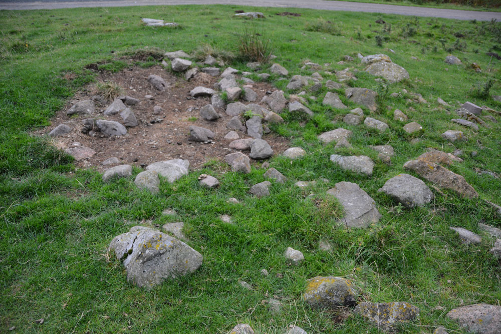
Hethpool Cairn submitted by Anne T on 13th Sep 2017. The Hethpool Cairn, showing its probably robbed centre.
(View photo, vote or add a comment)
Log Text: Hethpool Cairn, College Valley: By this time, it was getting reasonably late in the afternoon, and there was a definite chill in the air. After having been out a lot earlier than our normal setting off time, it seemed way past tea-time. Just as we were approaching Hethpool Stone circles, we both noticed a stony mound to the left hand side of the road, tucked between the road and a narrow band of forest that separates it from the stone circles.
OK, this could be just a dump of stones by the roadside, but I photographed it anyway, enjoying the view south down the valley before we set off for home. Opening up Pastscape later that evening, I was pleased to find this cairn recorded.
Hethpool Stone Circles
Trip No.45 Entry No.1 Date Added: 14th Sep 2017
Site Type: Stone Circle
Country: England (Northumberland)
Visited: Yes on 12th Sep 2017. My rating: Condition 3 Ambience 5 Access 5

Hethpool Stone Circles submitted by Andy B on 27th Feb 2003. Part of the Burnham family trip to Northumberland, August 2002
(View photo, vote or add a comment)
Log Text: Hethpool Stone Circles, College Valley: We needed to be up really early this morning, but completed what we needed to do by 9am. As there were high winds and rain forecast for this evening/tonight and for the next few days, husband suggested we make the most of the good weather and go up to College Valley. He organised a pass from Saville’s in Wooler (we were one of 8 cars today – usually there are only 1 or 2 the receptionist said).
The last time we were here was over 15 years ago, in the days when I didn’t have a camera, and whilst we saw the stone circle and Little Heatha Fort, didn’t have any evidence of our trip.
Considering this is marked on the map as a (singular) stone circle, it immediately looked (to me) as if there two side-by-side circles – the stones weren’t in one simple circle and they were too widespread. We climbed up to the telegraph pole up the hill to try and get a better look at the circle, but it was still too spread out (and many of the stones too low to the ground) to photograph well.
Given that the small car park at the entrance to the valley was pretty full, and we saw long crocodiles of walkers, we seemed to be the only people interested in the stone circle, which was surprising.
Mounthooly (College Valley)
Trip No.45 Entry No.6 Date Added: 15th Sep 2017
Site Type: Ancient Village or Settlement
Country: England (Northumberland)
Visited: Yes on 12th Sep 2017. My rating: Condition 2 Ambience 4 Access 4

Mounthooly (College Valley) submitted by Anne T on 15th Sep 2017. First view of the Mounthooly Romano-British Enclosed Scooped Settlement from the sheep pens by the footpath.
(View photo, vote or add a comment)
Log Text: Mounthooly Enclosed Scooped Settlement, College Valley: We drove down the road as far as we could go, nearly at Mounthooly Farm and International Hostelry, and there was a big sign saying ‘no cars past this point’. There were two other cars parked on the grass verge, but no signs of other people.
The road had been gated at Fleehope farm, where they were taking out the whole of the forest by Fleehope Burn, to the west of the farmhouse, and there were huge piles of logs and heavy machinery. Whoever had parked the Land Rover on about a 45 degree slope near the forest had to be congratulated for an epic display of 4 wheel driving!
We walked along the track past Mounthooly Farm and the Hostelry (which has a clean toilet block!), past the narrow strip of forest and found the footpath making its way through the sheep pens, through the field, by a hide. Immediately after coming through the sheep folds, the scoop of the settlement came into view.
Standing towards the western end of the settlement, the scoop is cut deep into the hillside and it seemed to loom around 5+ metres above me, although both Pastscape and Historic England say it’s only 3 metres.
The farmer has been using this area as a dump, and there were no end of empty plastic feed supplement bags and bottles.
There was a clear, wide ditch to the west and south of the settlement; it’s northern end had been cut by the forestry plantation and fence.
My eye was drawn across to the eastern side of College Burn, and a large light coloured boulder. When we got home, it turned out that there was another larger settlement, field systems and cairnfields to the east of the burn. There was also another settlement to the south east of the field, but there was a very large herd of bullocks gathered, so we opted out on this occasion.
What a fascinating area. Needs much more investigation.
Southernknowe (College Valley)
Trip No.45 Entry No.2 Date Added: 14th Sep 2017
Site Type: Ancient Village or Settlement
Country: England (Northumberland)
Visited: Yes on 12th Sep 2017. My rating: Condition 2 Ambience 4 Access 5

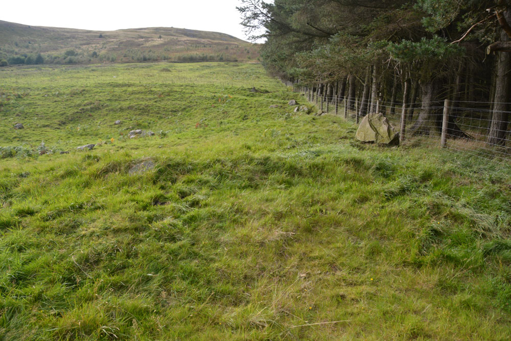
Southernknowe (College Valley) submitted by Anne T on 14th Sep 2017. Standing along the south eastern bank of the settlement, with College Burn to the right hand side in the dip. This large boulder rises up out of the bank. Beyond it, just down the slope, erosion has exposed boulder clay. At this point, the bank is steepest and looks like the settlement has been built on an old river terrace.
(View photo, vote or add a comment)
Log Text: Southernknowe RB Settlement, College Valley: Never having been down so far south in College Valley before, I was fascinated by how beautiful the scenery was, and how many people live here. We saw the sign posts for ‘Wedding This Way’ from Hethpool onwards, and came to the tiny, very white Cuddystone Hall, tucked just behind a small wooded area. Parking on the grassy area with a couple of other cars just north of the hall, we took up the invitation on the College Valley History web page to explore the earthwork remains of the settlement ‘dating from the Roman Iron Age times.’
Just before the road junction and the Airmen’s Memorial (Cheviot Memorial) there is a gate into the field. Letting ourselves in, we wandered round and through this scooped settlement nestled on the west bank of the College Burn, with its scooped hut circles and courtyards. The hut circles were more obvious in the northern (smaller) courtyard. The bank to the south eastern side was steep, dropping down to College Burn. Just past a large boulder on the south eastern bank, erosion left boulder clay clearly visible.
On the hillside to the south west there is another enclosure marked on the OS map, higher up the slopes of Blackhaggs Rigg. We planned to call back here later in the day.
Southernknowe Farmstead (College Valley)
Trip No.45 Entry No.5 Date Added: 15th Sep 2017
Site Type: Ancient Village or Settlement
Country: England (Northumberland)
Visited: Yes on 12th Sep 2017. My rating: Condition 2 Ambience 3 Access 4

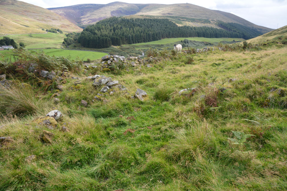
Southernknowe Farmstead (College Valley) submitted by Anne T on 15th Sep 2017. Standing almost at the sheepfold at the northern end of the farmstead, looking back down to College Burn (near where it meets Lambden Burn).
(View photo, vote or add a comment)
Log Text: Southernknowe Enclosed Farmstead, College Valley: This settlement sits high up the eastern slopes of Blackhaggs Riggs, almost opposite where Lambden Burn meets College Burn. Whilst we could see the stone walls/banks of this settlement from below, it was quite a hike up the steep slopes of the hill. Long and narrow, the inhabitants would have had a great view of any other people coming for miles. It is also very scenic, overlooking the meeting of Lambden Burn and College Burn. The river terraces in the valley below can be seen and it’s intriguing how the rivers have moved over the years.
