Contributory members are able to log private notes and comments about each site
Sites Anne T has logged on trip number: 10 (View all trips)
View this log as a table or view the most recent logs from everyone
Scots Dyke (Easby)
Trip No.10 Entry No.1 Date Added: 26th Feb 2017
Site Type: Misc. Earthwork
Country: England (Yorkshire (North))
Visited: Yes on 19th Feb 2017. My rating: Condition 2 Ambience 3 Access 4

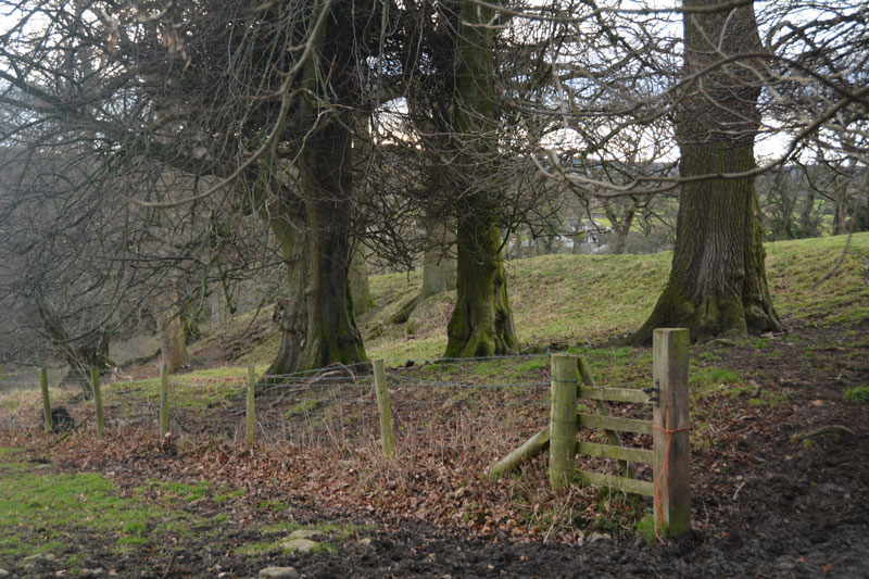
Scots Dyke (Easby) submitted by Anne T on 26th Feb 2017. This small section of Scots Dyke, south of Sandford House, can be seen as a bank about 2 metres tall, flanked by trees. This photo was taken from the layby next to it, where there were lovely views down to Easby Abbey and the River Swale.
(View photo, vote or add a comment)
Log Text: Scots Dyke (Easby): Having purchased our map (one of the few we don’t already possess), we headed off eastwards from Richmond, down the minor road passing through Anchorage Hill towards Brompton-on-Swale. Just past St. Nicholas, there is a right hand turn towards Easby. Turning down this road, there is a layby within 20 metres of the junction. With a lovely view south to the River Swale and Easby Abbey, our first sight of the dyke was within a few metres west of this layby – an earthwork bounded by relatively young trees.
Having photographed this small section as best I could (the gate was padlocked), I clambered round a tree, avoiding the deep rabbit holes.
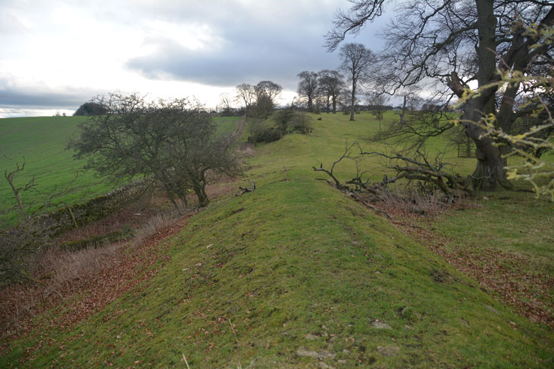
There is a second section of the dike across the road, which Pastscape tells us runs for 360 metres south of the Darlington Road to Sandford House (monument 1034723), east of Whitefields Farm. From the layby on the lane leading down to Easby, on the opposite side of the road, a footpath leads to the left of Sandford House, and runs over the top of the dyke for some way. Heading northwards, the bank with its ditch to the east, there is a new build housing site to the west. Not a great ambience. We wondered how many of the new residents would know they were living next to an ancient monument.
Scots Dyke (Olliver)
Trip No.10 Entry No.2 Date Added: 26th Feb 2017
Site Type: Misc. Earthwork
Country: England (Yorkshire (North))
Visited: Yes on 19th Feb 2017. My rating: Condition 3 Ambience 4 Access 4

Scots Dyke (Olliver) submitted by Anne T on 26th Feb 2017. To the south of the trackway, the dyke runs for some 400 metres, with a ditch on either side.
(View photo, vote or add a comment)
Log Text: Scots Dyke (Olliver): From Scots Dyke at Easby, heading back into Richmond, we took the B6274 to Gilling West, turning off to the right to Olliver Cottages. Here, opposite Olliver Cottages, is a small (appears to be public) car park. Walking up the track towards Olliver itself (a large farm and prestigious office premises), after 400 metres, the track turns slightly to the right and goes up a shallow hill, transecting the dyke.
Facing up hill, the dyke the left-hand side dives down a steep hill and is transected by a farm house. Beyond the farm, looking northwards, a smaller section of the dyke can be seen at the field edge. To the right-hand side, the dyke continues for several hundred metres. The ditch is very steep at some points (Pastscape says 7 metres at the northern end). Standing on top of the dyke, looking eastwards, there are great views back to the A1 and beyond.
Looking more closely at the banks, they are made up of medium and large size stones, packed with earth. Under one tree was a small marker and stone - a treasured pet's burial place?
Stanwick Hillfort
Trip No.10 Entry No.3 Date Added: 26th Feb 2017
Site Type: Hillfort
Country: England (Yorkshire (North))
Visited: Yes on 19th Feb 2017. My rating: Condition 3 Ambience 4 Access 5
Stanwick Hillfort submitted by rich32 on 2nd Oct 2006. Stanwick is one huge site, if you could walk round the ramparts you’d cover about 4miles & internally you’ve got 750 acres to get lost in.
The earliest evidence dates the fortifications from the mid to late Iron Age, with occupation waning towards the end of the 1st century AD. It’s likely to have been an important stronghold for the Brigantes & may have been the home of queen Cartimandua, who ruled at the time those chaps from Rome visited.
Theres bundles of evidence from other per...
(View photo, vote or add a comment)
Log Text: Stanwick Iron Age Fortifications:(note: whilst the main entrance of this enclosure can be driven to, getting onto the monument could be difficult because of the short climb to the top of the bank). We'd been in this area before, but to the churches of Stanwick St John and Forcett, to see the Anglo Saxon crosses. It was almost dark at the last visit, so I was glad to be able to see the site properly, although it is so large, it's only possible to glimpse parts. We managed to park opposite the main English Heritage entrance (with signpost), avoiding the myriads of walkers and horse riders who passed the site without seeming to take notice.
There are some quite steep wooden steps up to the top of the bank (the soil around has been eroded, so these (what look like) railway sleepers have been put in to aid walkers). These lead onto the top of the bank which is heavily overgrown with trees and shrubs, with ditches on both sides. About 100 metres into the walk northwards along this embankment, it opens out with a very steep ditch down into what looks like a quarried area. The Pastscape notes say the ditch was built into bedrock, but this looks like a modern quarry.
The bank carries on for quite a way, and from the road, you can trace its line curving round to a farmhouse in the distance, but the tree roots make it quite difficult to walk. On the opposite side of the road, the bank can be seen extending into the far distance, towards Forcett.
We drove slightly further up the road, and at the road junction for Aldbro and Stanwick, you could see more fortifications heading off into the distance. As usual, it was getting to be dusk by this point and we wanted to find the Roman bridge at Piercebridge, so headed off. Shame most of this Iron Age monument was on private land. It really would have been great to wander along/next to these defences. What a huge area it covers!
