Contributory members are able to log private notes and comments about each site
Sites Markj99 has logged. View this log as a table or view the most recent logs from everyone
Moss Knowes
Date Added: 14th Nov 2023
Site Type: Natural Stone / Erratic / Other Natural Feature
Country: Scotland (South Ayrshire)
Visited: Yes on 27th May 2023. My rating: Condition 4 Ambience 4 Access 1
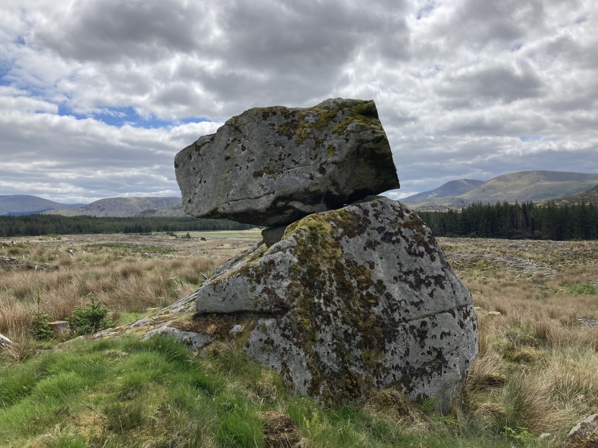
Moss Knowes submitted by markj99 on 28th May 2023. Moss Knowes Rocking Stone viewed from NW.
(View photo, vote or add a comment)
Log Text: On my return to Moss Knowe Rocking Stone, the pine forest had been felled. The stone was now on the edge of a large clearing, still intact.
Moss Knowes
Date Added: 14th Nov 2023
Site Type: Natural Stone / Erratic / Other Natural Feature
Country: Scotland (South Ayrshire)
Visited: Yes on 26th Sep 2009. My rating: Condition 4 Ambience 4 Access 1

Moss Knowes submitted by markj99 on 28th May 2023. Moss Knowes Rocking Stone viewed from NW.
(View photo, vote or add a comment)
Log Text: When I first saw Moss Knowes Rocking Stone it was on the edge of a pine forest on the way to Tunskeen Bothy.
Fenterleigh
Date Added: 14th Nov 2023
Site Type: Ancient Cross
Country: England (Cornwall)
Visited: Yes on 5th Jun 2023. My rating: Condition 4 Ambience 4 Access 5
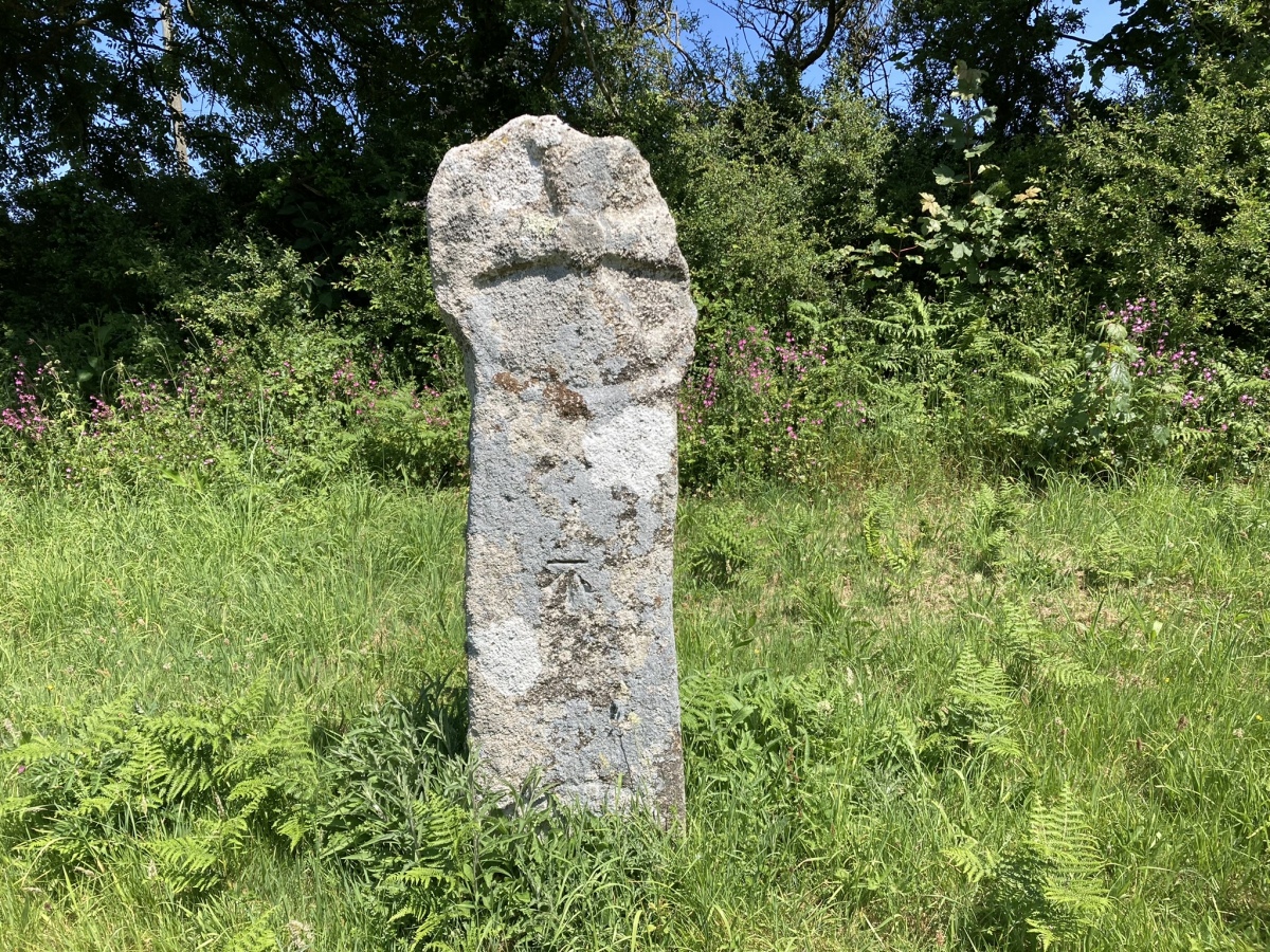
Fenterleigh submitted by markj99 on 15th Jun 2023. South Face of Fenterleigh Cross.
(View photo, vote or add a comment)
Log Text: Take the Davidstow road in the centre of Bossinay at SX 0656 8882. Follow the road for c. 0.5 mile to a crossroads. Turn left onto a minor road for c. 50 yards to park up in a passing place. Walk back up to the the crossroads. The ancient cross is on your left adjacent to the road.
Waterpit Down
Date Added: 14th Nov 2023
Site Type: Ancient Cross
Country: England (Cornwall)
Visited: Yes on 5th Jun 2023. My rating: Condition 3 Ambience 4 Access 5

Waterpit Down submitted by markj99 on 15th Jun 2023. West Face of Waterpit Down Cross.
(View photo, vote or add a comment)
Log Text: It isn't easy to park at the cross. I parked c. 200 yards E in a wide gateway opposite a farm shed.
Elburton Cross
Date Added: 14th Nov 2023
Site Type: Ancient Cross
Country: England (Devon)
Visited: Yes on 9th Jun 2023. My rating: Condition 3 Ambience 4 Access 5
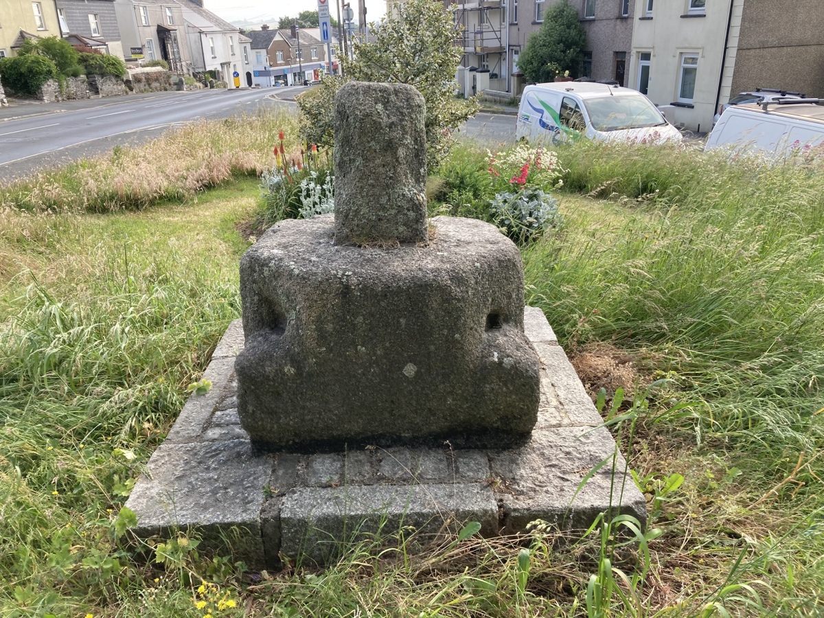
Elburton Cross submitted by markj99 on 18th Jun 2023. Elburton Cross viewed from WSW.
(View photo, vote or add a comment)
Log Text: It is easy to park up and visit this anomalous remnant of a cross in Elburton. Progress has destroyed most of these ancient crosses.
Longstone Cross
Date Added: 14th Nov 2023
Site Type: Ancient Cross
Country: England (Cornwall)
Visited: Yes on 5th Jun 2023. My rating: Condition 3 Ambience 3 Access 5
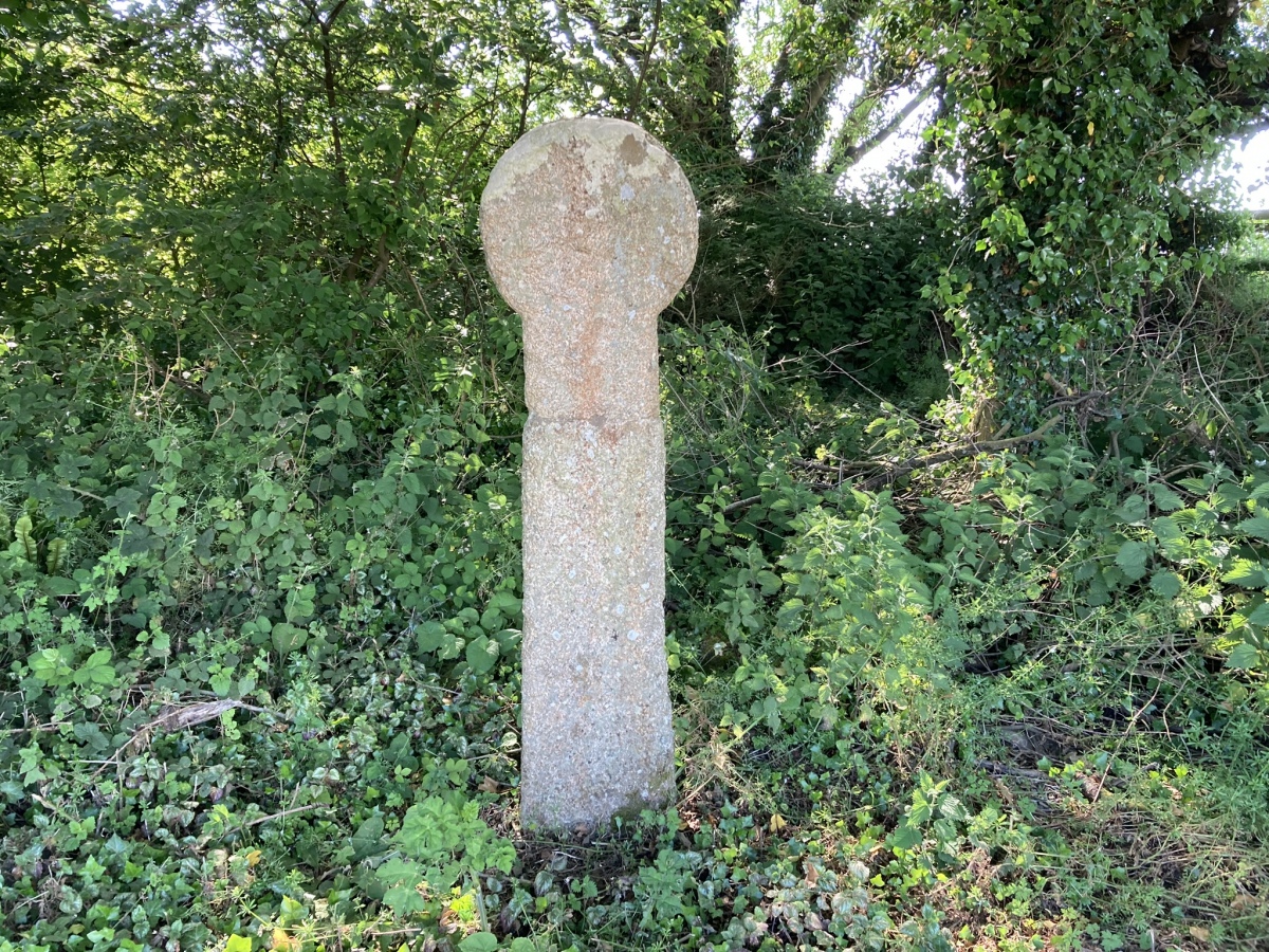
Longstone Cross submitted by markj99 on 20th Jun 2023. West face of Longstone Cross.
(View photo, vote or add a comment)
Log Text: Hundreds of people pass by this curious corner every day. It is worthwhile to stop and contemplate the fates of the cross and standing stone at the Longstone junction.
Penwine Cross
Date Added: 14th Nov 2023
Site Type: Ancient Cross
Country: England (Cornwall)
Visited: Yes on 5th Jun 2023. My rating: Condition 3 Ambience 3 Access 5

Penwine Cross submitted by Thorgrim on 4th Nov 2004. This cross stands at the crossroads next to the shattered remains of the Longstone (St Mabyn). It was found cemented into a farmyard wall in 1947 and erected on a new shaft in 1969.
(View photo, vote or add a comment)
Log Text: Hundreds of people pass by this curious corner every day. It is worthwhile to stop and contemplate the fates of the cross and standing stone at the Longstone junction.
Longstone (St Mabyn)
Date Added: 14th Nov 2023
Site Type: Standing Stone (Menhir)
Country: England (Cornwall)
Visited: Yes on 5th Jun 2023. My rating: Condition 3 Ambience 3 Access 5
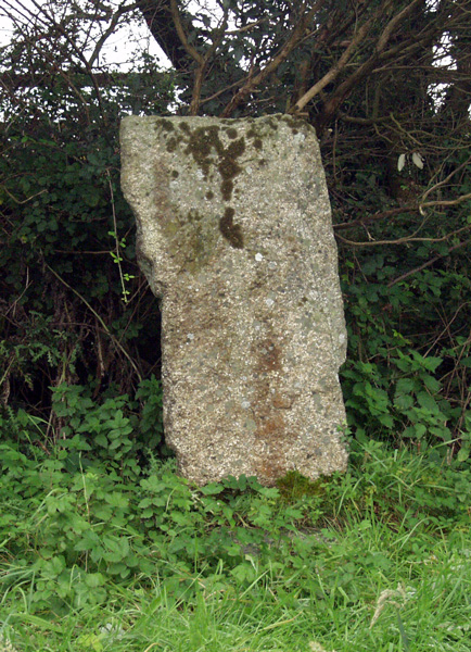
Longstone (St Mabyn) submitted by ocifant on 3rd Oct 2004.
(View photo, vote or add a comment)
Log Text: This remnant of an ancient monument has at least been saved, however it is a sad reminder of Man's lack of respect for ancient stones.
Rillaton N Cairn
Date Added: 13th Nov 2023
Site Type: Cairn
Country: England (Cornwall)
Visited: Yes on 7th Jun 2023. My rating: Condition 2 Ambience 4 Access 3

Rillaton N Cairn submitted by markj99 on 27th Jun 2023. Rillaton N Cairn viewed from S.
(View photo, vote or add a comment)
Log Text: Rillaton Barrow is prominent in Minions Moor c. 600 yards NNE of The Hurlers N Stone Circle. Rillaton N Cairn is located c. 40 yards NNW of the Barrow. This much reduced site is rarely visited due to the proximity of the impressive Rillaton Barrow.
Milton Loch NW
Date Added: 12th Nov 2023
Site Type: Crannog
Country: Scotland (Dumfries and Galloway)
Visited: Yes on 22nd Jun 2023. My rating: Condition 2 Ambience 3 Access 3
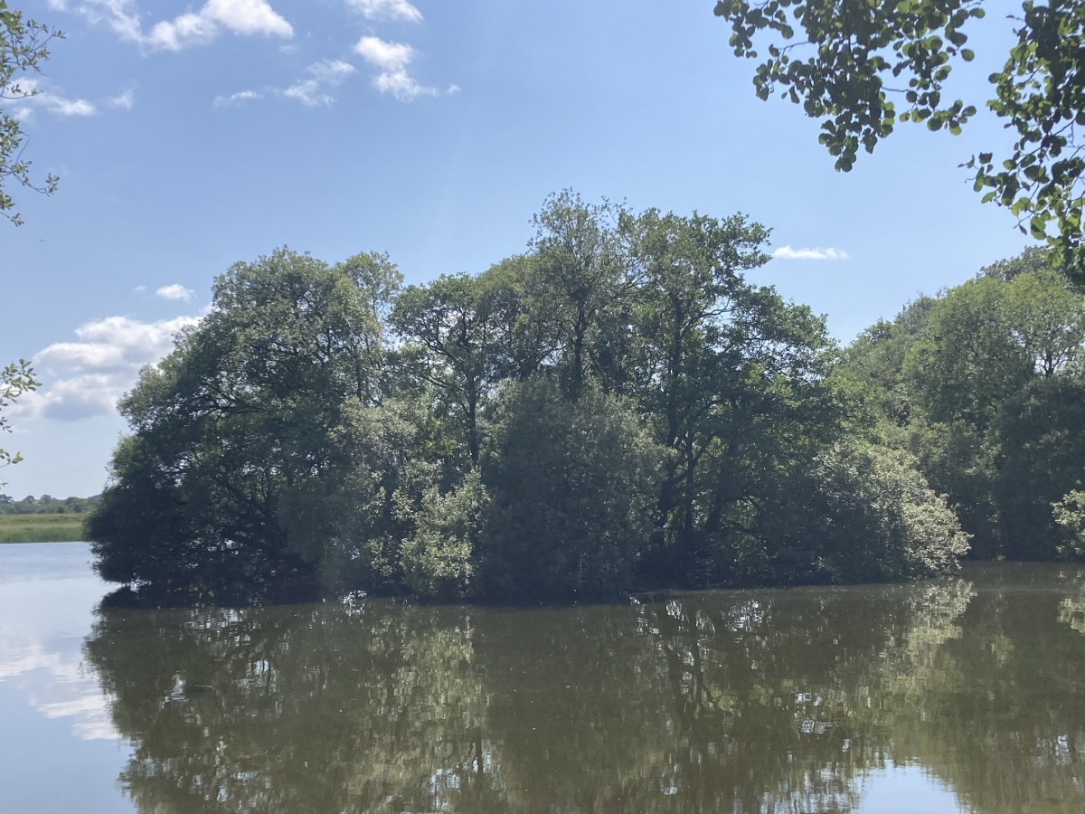
Milton Loch NW submitted by markj99 on 26th Jun 2023. Milton Loch NW Crannog viewed from NNE.
(View photo, vote or add a comment)
Log Text: Directions to Green Island, Milton Loch: Take the Park of Brandedleys turn off the A75 on the SW edge of Crocketford. Follow the road for c. 0.8 mile to Auchengibbert Farm. Bear left to Kirkgunzeon for c. 0.2 mile to a passing place on the left. Park up and follow a vague path along the margin of the field to the W bank of Milton Loch. My route is viewable on Milton Loch Crannogs.
Milton Loch Central
Date Added: 12th Nov 2023
Site Type: Crannog
Country: Scotland (Dumfries and Galloway)
Visited: Yes on 22nd Jun 2023. My rating: Condition 2 Ambience 3 Access 3

Milton Loch Central submitted by markj99 on 26th Jun 2023. Milton Loch Central Crannog (left background) viewed from NW.
(View photo, vote or add a comment)
Log Text: Directions to Green Island, Milton Loch: Take the Park of Brandedleys turn off the A75 on the SW edge of Crocketford. Follow the road for c. 0.8 mile to Auchengibbert Farm. Bear left to Kirkgunzeon for c. 0.2 mile to a passing place on the left. Park up and follow a vague path along the margin of the field to the W bank of Milton Loch. My route is viewable on Milton Loch Crannogs.
Great Cursus W Barrow
Date Added: 7th Nov 2023
Site Type: Round Barrow(s)
Country: England (Wiltshire)
Visited: Yes on 4th Jun 2023. My rating: Condition 2 Ambience 4 Access 4
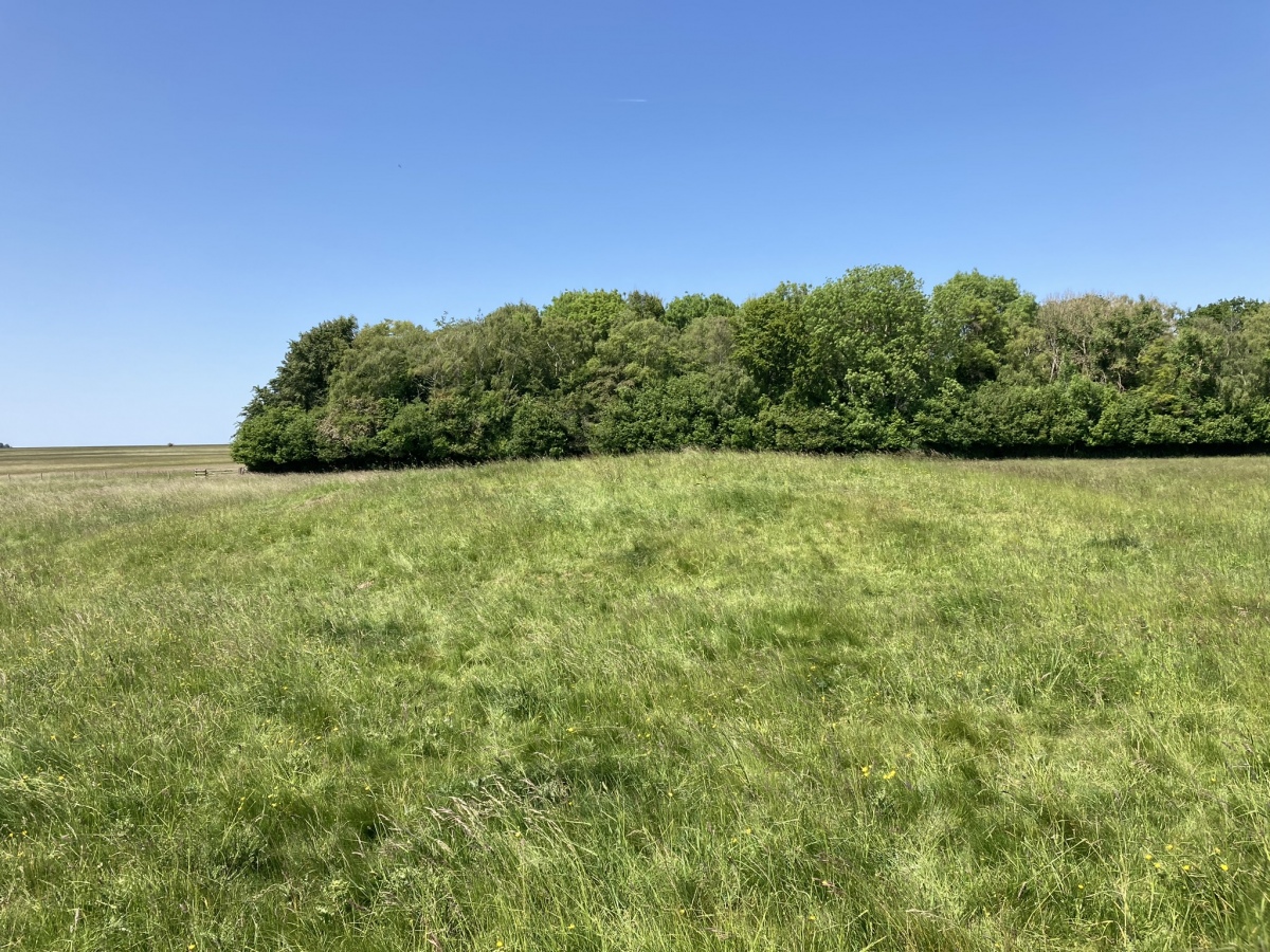
Great Cursus W Barrow submitted by markj99 on 1st Jul 2023. Great Cursus W Barrow viewed from S.
(View photo, vote or add a comment)
Log Text: Starting at the Stonehenge visitor centre, take the path E for c. 400 yards. Bear left onto a footpath heading for Fargo Plantation. Go through a gate after c. 400 yards. The Great Cursus starts here bisecting Fargo Plantation. Follow the path E for c. 100 yards to the start of the trees. Great Cursus W Barrow is c. 30 yards N of this point.
Captain's Bridge (Drummochreen) SE
Date Added: 6th Nov 2023
Site Type: Stone Fort or Dun
Country: Scotland (South Ayrshire)
Visited: Yes on 2nd May 2023. My rating: Condition 2 Ambience 4 Access 4
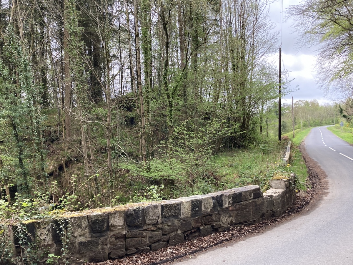
Captain's Bridge (Drummochreen) SE submitted by markj99 on 14th May 2023. Captain's Bridge (Drummochreen) SE Dun viewed from Captain's Bridge.
(View photo, vote or add a comment)
Log Text: Directions to Captain's Bridge (Drummochreen) SE: Take the B741 Dailly road off the A77, N of Girvan. After c. 5 miles stay straight on for Maybole at the Dailly junction. Continue towards Maybole for c. 1.7 miles to a farm junction on the left. Park up and walk c. 150 yards SW round the corner to Captain's Bridge (Drummochreen) SE on the S end of the bridge.
Cairn Hill (Dalquharran)
Date Added: 6th Nov 2023
Site Type: Cairn
Country: Scotland (South Ayrshire)
Visited: Yes on 1st Aug 2023. My rating: Condition 1 Ambience 3 Access 4
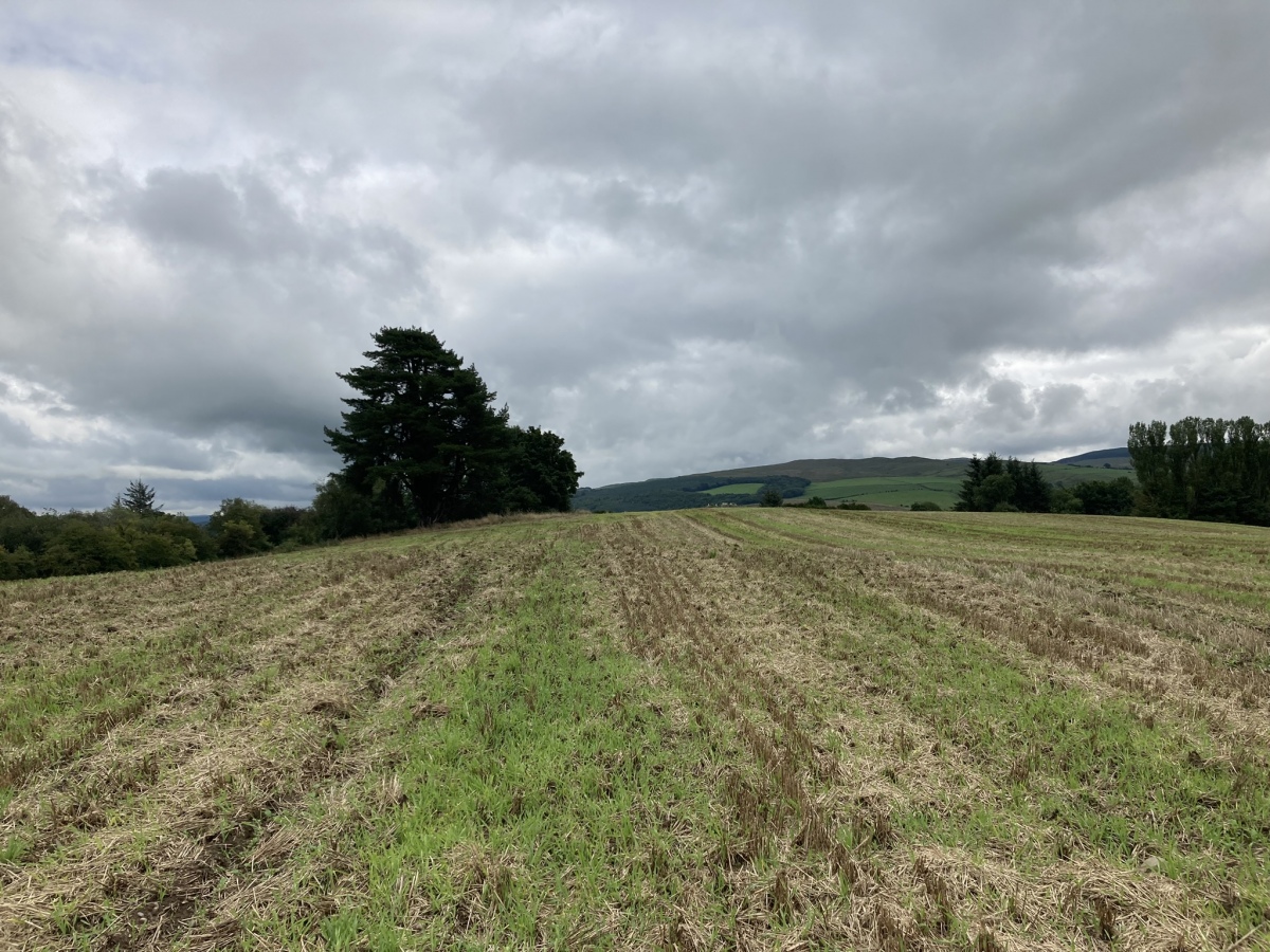
Cairn Hill (Dalquharran) submitted by markj99 on 1st Aug 2023. Cairn Hill (Dalquharran) Cairn viewed from west.
(View photo, vote or add a comment)
Log Text: Directions to Cairn Hill (Dalquharran) : Take the B741 Dailly road off the A77, N of Girvan. After c. 5 miles stay straight on for Maybole at the Dailly junction. Continue for 75 yards to park up in estate gates on the right. Walk c. 100 yards S into the estate to reach a path heading E into a wood. Follow the path E for c. 150 yards then head S for c. 50 yards along a path heading into a field. The cairn is c. 130 yards SE of the entrance into the field.
East Threave
Date Added: 6th Nov 2023
Site Type: Cairn
Country: Scotland (South Ayrshire)
Visited: Yes on 2nd Jul 2023. My rating: Condition 2 Ambience 4 Access 3
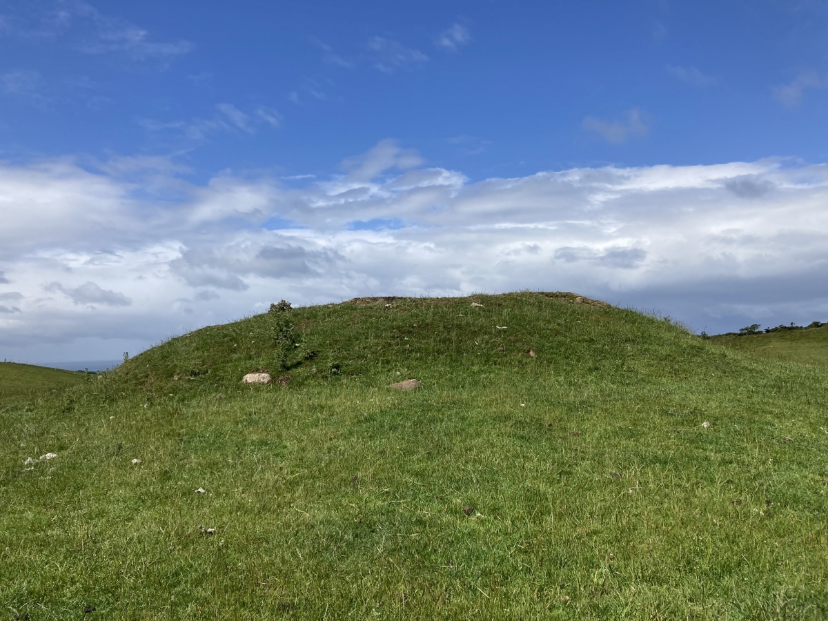
East Threave submitted by markj99 on 6th Jul 2023. East Threave Cairn viewed from E.
(View photo, vote or add a comment)
Log Text: Directions to East Threave: Take the B741 Dailly road off the A77, N of Girvan. After c. 5 miles stay straight on for Maybole at the Dailly junction. Continue towards Maybole for c. 1 mile to a minor road on the left, signed to Kirkoswald. Take this single track road for c. 1.2 miles to a sharp left at a farm road with a cattle grid. After c. 0.3 miles on this farm road bear right onto a rough track. Follow this muddy pot holed track for c. 0.6 miles to a gateway on your left at NS 25887 04226. There is room to park on the right. Make your way though the gate towards East Threave Cairn in the grassy field.
Knee of Cairnsmore
Date Added: 4th Nov 2023
Site Type: Cairn
Country: Scotland (Dumfries and Galloway)
Visited: Yes on 9th Jul 2023. My rating: Condition 2 Ambience 4 Access 2

Knee of Cairnsmore submitted by markj99 on 13th Jul 2023. Centre of Knee of Cairnsmore Cairn viewed from W.
(View photo, vote or add a comment)
Log Text: Travel E along the A75 for c. 3 miles from the roundabout at Newton Stewart. to reach the Kirroughtree /Palnure junction. Continue E for c. 0.4 mile to an unsigned left turn. Follow this narrow lane for c. 0.4 mile to reach Cairnsmore Estate. Bear left for c. 0.2 miles to a right turn into Graddoch Bridge Parking Lane. Walk to the end of the lane, turn right and follow the signs for Cairnmore of Fleet. The walk is a 10 mile ascent and descent of Cairnsmore of Fleet taking in three cairns. My route is viewable on Cairnsmore of Fleet Cairns.
Cairnsmore of Fleet
Date Added: 4th Nov 2023
Site Type: Cairn
Country: Scotland (Dumfries and Galloway)
Visited: Yes on 9th Jul 2023. My rating: Condition 2 Ambience 4 Access 2

Cairnsmore of Fleet submitted by markj99 on 13th Jul 2023. Cairnsmore of Fleet Summit Cairn viewed from the east.
(View photo, vote or add a comment)
Log Text: Travel E along the A75 for c. 3 miles from the roundabout at Newton Stewart. to reach the Kirroughtree /Palnure junction. Continue E for c. 0.4 mile to an unsigned left turn. Follow this narrow lane for c. 0.4 mile to reach Cairnsmore Estate. Bear left for c. 0.2 miles to a right turn into Graddoch Bridge Parking Lane. Walk to the end of the lane, turn right and follow the signs for Cairnmore of Fleet. The walk is a 10 mile ascent and descent of Cairnsmore of Fleet taking in three cairns. My route is viewable on Cairnsmore of Fleet Cairns.
White Loch of Myrton
Date Added: 3rd Nov 2023
Site Type: Crannog
Country: Scotland (Dumfries and Galloway)
Visited: Yes on 16th Jul 2023. My rating: Condition 2 Ambience 3 Access 4

White Loch of Myrton submitted by markj99 on 18th Jul 2023. White Loch of Myrton Crannog viewed from west.
(View photo, vote or add a comment)
Log Text: Take the A747 Port William turn off the A75 at Glenluce. Take the first exit to Wigtown off the small roundabout in the centre of Port William. Follow the B7085 for 0.8 miles to reach an unsigned sharp right turn towards Monreith. Follow the lane for c. 0.2 miles to the gates of Monreith Estate. It is possible to park at the estate gate. A muddy track is followed for c. 0.4 mile past the private road to Monreith House to a Y-junction. Take the right turn for c. 400 yards to reach a path heading N into the wood surrounding the loch. Follow the winding path for c. 200 yards to the crannog in the SE corner of White Loch of Myrton. If you want to see the crannog from the W, return to the Y-junction, take the left path for c. 400 yards. My route is viewable on White Loch of Myrton.
The May Cairn
Date Added: 3rd Nov 2023
Site Type: Cairn
Country: Scotland (Dumfries and Galloway)
Visited: Yes on 16th Jul 2023. My rating: Condition 2 Ambience 3 Access 3
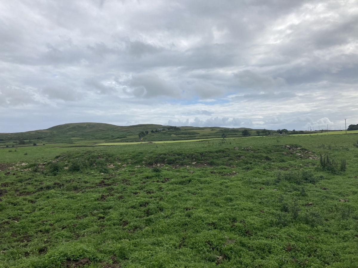
The May Cairn submitted by markj99 on 20th Jul 2023. The May Cairn viewed from the north.
(View photo, vote or add a comment)
Log Text: There are often Beef Cattle in the field which surrounds The May Cairn. It took several visits before I was able to access the cairn.
Lang Riggs (The May)
Date Added: 3rd Nov 2023
Site Type: Cairn
Country: Scotland (Dumfries and Galloway)
Visited: Yes on 16th Jul 2023. My rating: Condition 2 Ambience 4 Access 3

Lang Riggs (The May) submitted by markj99 on 19th Jul 2023. Lang Riggs (The May) Cairn viewed from the east.
(View photo, vote or add a comment)
Log Text: There are often Beef Cattle in the field which surrounds Lang Riggs Cairn. It took several visits before I was able to access the cairn.
