Contributory members are able to log private notes and comments about each site
Sites Markj99 has logged. View this log as a table or view the most recent logs from everyone
Lang Riggs (The May)
Date Added: 3rd Nov 2023
Site Type: Cairn
Country: Scotland (Dumfries and Galloway)
Visited: Yes on 16th Jul 2023. My rating: Condition 2 Ambience 4 Access 3

Lang Riggs (The May) submitted by markj99 on 19th Jul 2023. Lang Riggs (The May) Cairn viewed from the east.
(View photo, vote or add a comment)
Log Text: There are often Beef Cattle in the field which surrounds Lang Riggs Cairn. It took several visits before I was able to access the cairn.
Court Cairn, The May
Date Added: 31st Oct 2023
Site Type: Cairn
Country: Scotland (Dumfries and Galloway)
Visited: Yes on 27th Sep 2020. My rating: Condition 1 Ambience 3 Access 3
Court Cairn, The May submitted by markj99 on 4th Oct 2020. Court Cairn, The May in situ.
(View photo, vote or add a comment)
Log Text: Directions to Court Cairn (The May): Take the A747 Port William turn off the A75 at Glenluce. Stay on the A747 for c. 6.6 miles to an unsigned left turn onto the B7005 at NX 27136 49953. Travel on the B7005 for c. 2.2 miles to reach a minor road signed for Kirkcowan. Court Cairn (The May) is 0.4 miles on the left at The May farm. There is room to park in a gateway adjacent to the field.
Corwall S
Date Added: 30th Oct 2023
Site Type: Cairn
Country: Scotland (Dumfries and Galloway)
Visited: Yes on 24th Jul 2023. My rating: Condition 3 Ambience 4 Access 3

Corwall S submitted by markj99 on 25th Jul 2023. Corwall S Cairn viewed from east.
(View photo, vote or add a comment)
Log Text: An old farm track winds up from the coastal road, A747 to Port William, at Chapel Finian. There is a large grassy car park at NX 2794 4876, on the right of the A747. Walk NE along the road for c. 175 yards to reach a wooden gate on your right, c. 40 yards SE of Chapel Finian, at NX 2786 4887. A vague farm track starts here. The track is overgrown at first but clears into a wide grassy track as it nears Corwall Farm. Two cairns can be accessed from this track. After c. 1 mile there is a gateway into open moor at NX 2855 4915. Corwall S Cairn is c. 270 yards ESE of this location. Retrace your steps WNW to return to the track. Continue N through semi-derelict Corwall Farm to reach a gateway at NX 2897 4946, just before a ruined cottage on your right. Corwall E Cairn is c. 275 yards ENE from here in a grassy field. There is a marker cairn on the cairn to guide you to it. My route can be viewed on Corwall Cairns.
Corwall E
Date Added: 30th Oct 2023
Site Type: Cairn
Country: Scotland (Dumfries and Galloway)
Visited: Yes on 24th Jul 2023. My rating: Condition 2 Ambience 4 Access 3

Corwall E submitted by markj99 on 25th Jul 2023. Corwall E Cairn viewed from the south.
(View photo, vote or add a comment)
Log Text: An old farm track winds up from the coastal road, A747 to Port William, at Chapel Finian. There is a large grassy car park at NX 2794 4876, on the right of the A747. Walk NE along the road for c. 175 yards to reach a wooden gate on your right, c. 40 yards SE of Chapel Finian, at NX 2786 4887. A vague farm track starts here. The track is overgrown at first but clears into a wide grassy track as it nears Corwall Farm. Two cairns can be accessed from this track. After c. 1 mile there is a gateway into open moor at NX 2855 4915. Corwall S Cairn is c. 270 yards ESE of this location. Retrace your steps WNW to return to the track. Continue N through semi-derelict Corwall Farm to reach a gateway at NX 2897 4946, just before a ruined cottage on your right. Corwall E Cairn is c. 275 yards ENE from here in a grassy field. There is a marker cairn on the cairn to guide you to it. My route can be viewed on Corwall Cairns.
Barnshangan W
Date Added: 28th Oct 2023
Site Type: Cairn
Country: Scotland (Dumfries and Galloway)
Visited: Yes on 25th Oct 2023. My rating: Condition 1 Ambience 3 Access 3
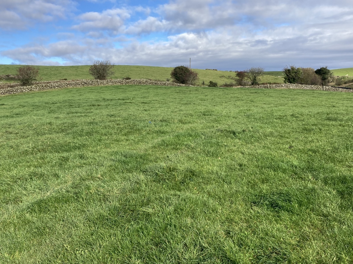
Barnshangan W submitted by markj99 on 26th Oct 2023. Barnshangan W Cairn viewed from S.
(View photo, vote or add a comment)
Log Text: Take the W turn to Glenluce off the A75. Turn left for New Luce after 0.2 mile. Stay on this road for c. 5 miles to reach New Luce. Park on Main Street. Walk straight on at the top of Main Street for c. 300 yards to reach Barnshangan Farm track. Follow the farm track for c. 0.6 mile to a gate on the right at NX 18156 65377. Head S into the field for 75 yards then SE towards a gate into an adjacent field. Barnshangan W Cairn is c. 75 yards NE from here. Return to the farm track then walk c. 400 yards E to NX 18429 65423. Barnshangan E Cairn is c. 50 yards to the right, next to a dry stane dyke.
Balmalloch Chambered Cairn
Date Added: 28th Oct 2023
Site Type: Chambered Cairn
Country: Scotland (South Ayrshire)
Visited: Yes on 25th Oct 2023. My rating: Condition 3 Ambience 5 Access 1
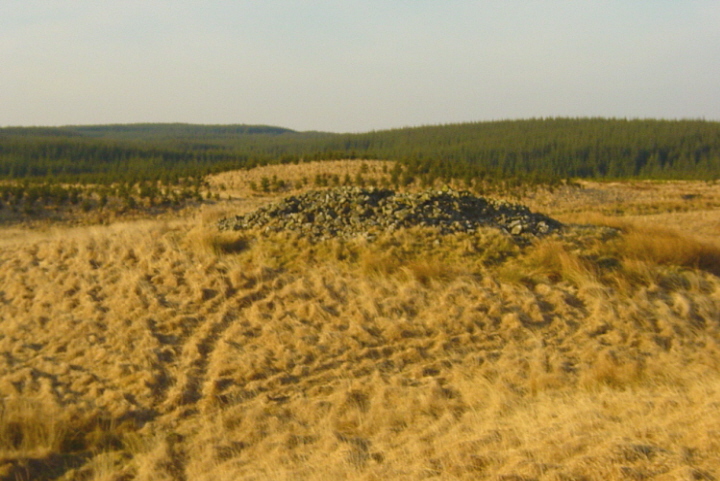
Balmalloch Chambered Cairn submitted by mickm on 9th Jan 2005. Balmalloch, Bargrennan type chambered cairn, viewed from higher ground to the south. Like many cairns of this type, it is situated on a knoll. Note also how the cairn is silhouetted against the similarly shaped Roughlea Rig to the north. The cairn is in very good condition, surviving up to 2.5m in height, with a diameter of c.17m.
(View photo, vote or add a comment)
Log Text: Take the dead-end Forest Road at Blair Farm off the A714 c. 0.5 mile SE of Barrhill. Follow this narrow lane for c. 2.7 miles to Darnaconnar Farm at NX 27654 83371. There are three options from here. If you have a 4x4 you can follow the track running N from here or go by off-road bike or walk if necessary. The track is little used and overgrown in the centre. Follow the track for c. 0.8 miles to Balmalloch ruin at the end of the road. Walk NW along a path between trees for c. 120 yards to reach a forest clearing. Balmalloch Cairnfield is located c. 100 yard W from here. The area is planted with small pine trees. Balmalloch Chambered Cairn is c. 350 yards NW of this point across ditches and small trees. Make your best way towards NX 26393 84533 to reach Balmalloch Chambered Cairn.
Balmalloch Cairnfield
Date Added: 28th Oct 2023
Site Type: Barrow Cemetery
Country: Scotland (South Ayrshire)
Visited: Yes on 25th Oct 2023. My rating: Condition 1 Ambience 3 Access 1

Balmalloch Cairnfield submitted by markj99 on 27th Oct 2023. Balmalloch Cairnfield viewed from SE.
(View photo, vote or add a comment)
Log Text: In its current condition Balmalloch Cairnfield is not worth visiting however you can walk through it on the way to Balmalloch Cairn.
Laggan Cairn (Barrhill)
Date Added: 28th Oct 2023
Site Type: Cairn
Country: Scotland (South Ayrshire)
Visited: Yes on 25th Oct 2023. My rating: Condition 2 Ambience 3 Access 3
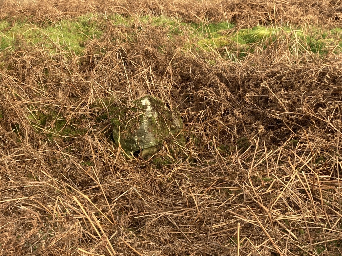
Laggan Cairn (Barrhill) submitted by markj99 on 28th Oct 2023. Central Hollow of Laggan Cairn (Barrhill) viewed from W.
(View photo, vote or add a comment)
Log Text: Take the dead-end Forest Road at Blair Farm off the A714 c. 0.5 mile SE of Barrhill. Follow this narrow lane for c. 1 mile to a ruined house on the left of the road at NX 25692 82407. Park up and follow an overgrown track NW for c. 600 yards to a corner at NX 25263 82699. Walk N towards a gate in a deer fence. Walk W through rough boggy ground for c. 150 yards to the deer fence. Follow the deer fence N through similar terrain for c. 300 yards to Laggan Cairn (Barrhill) at NX 25354 82970.
Mochrum Fell (Elrig)
Date Added: 24th Oct 2023
Site Type: Cairn
Country: Scotland (Dumfries and Galloway)
Visited: Yes on 4th Aug 2023. My rating: Condition 3 Ambience 5 Access 3
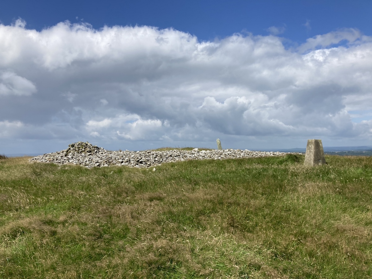
Mochrum Fell (Elrig) submitted by markj99 on 5th Aug 2023. Mochrum Fell (Elrig) Cairn viewed from east.
(View photo, vote or add a comment)
Log Text: Directions to Mochrum Fell (Elrig): Take the A747 Port William turn off the A75 at Glenluce. Stay on the A747 for c. 6.6 miles to an unsigned left turn onto the B7005 at NX 27136 49953. Travel on the B7005 for c. 2.2 miles to reach a minor road signed for Kirkcowan. Continue on the B7005 for c. 300 yards to a track opposite Culshabbin Schoolhouse at NX 30667 51023. There is room to park up here. Follow the track S for c. 0.5 mile. Turn right at NX 3104 5036 onto a vague path heading W through rough ground. Stay on this path heading uphill to the obvious summit of Mochrum Fell. The cairn is on the summit of Mochrum Fell. My route is viewable on Mochrum Fell (Elrig) Cairn.
Cairnhouse W
Date Added: 23rd Oct 2023
Site Type: Cairn
Country: Scotland (Dumfries and Galloway)
Visited: Yes on 11th Aug 2023. My rating: Condition 3 Ambience 4 Access 3

Cairnhouse W submitted by markj99 on 12th Aug 2023. Centre of Cairnhouse W Cairn viewed from south.
(View photo, vote or add a comment)
Log Text: It is tricky to exactly define my route to Cairnhouse W Cairn. I parked in a lay-by at NX 41787 57920. I walked W across the field to a track running SW on the other side of the stone wall. Follow this track to the cairn.
Elrig Cairn
Date Added: 23rd Oct 2023
Site Type: Cairn
Country: Scotland (Dumfries and Galloway)
Visited: Yes on 6th Aug 2023. My rating: Condition 2 Ambience 4 Access 3

Elrig Cairn submitted by markj99 on 6th Aug 2023. Large field clearance stones dumped in northern half of Elrig Cairn.
(View photo, vote or add a comment)
Log Text: Directions to Elrig Cairn: Take the Elrig turn off the A747 Portwilliam road. Follow the road for c. 1.3 miles to a junction with Elrig Farm road at the edge of the village. There is room to park at the junction. Walk c. 400 yards up the road to reach a gate on your left. Follow a winding path N through the field to a gate. Elrig Cairn is c. 100 yards WNW in the adjacent field.
Cairnhouse E
Date Added: 22nd Oct 2023
Site Type: Cairn
Country: Scotland (Dumfries and Galloway)
Visited: Yes on 11th Aug 2023. My rating: Condition 2 Ambience 3 Access 4
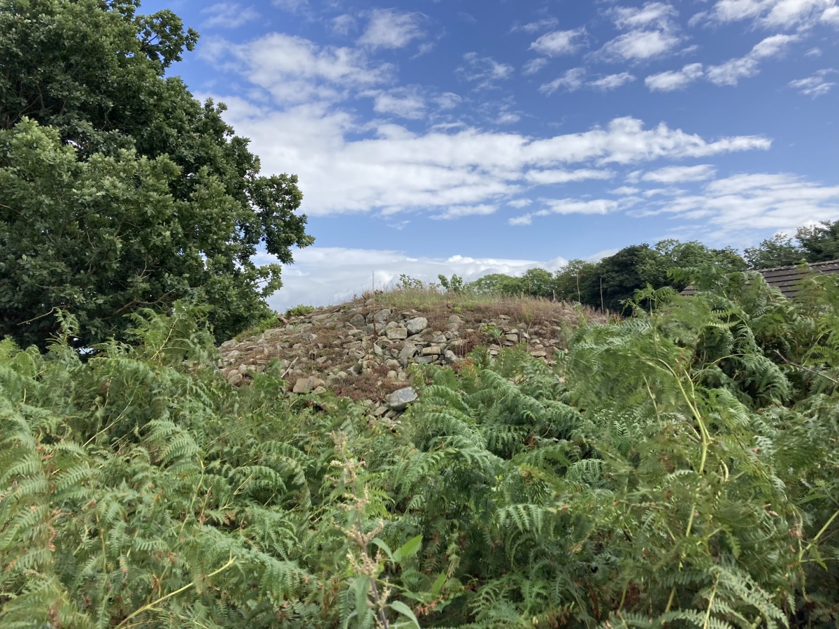
Cairnhouse E submitted by markj99 on 12th Aug 2023. Cairnhouse E Cairn viewed from south.
(View photo, vote or add a comment)
Log Text: Directions to Cairnhouse E Cairn: Take the A714 Wigtown road from the A75 roundabout at Newton Stewart. Stay on the road for c. 3.9 miles to an unsigned turn off to Cairnhouse Farm. Bear right onto the single track lane to Cairnhouse farm. Travel c. 500 yards down the farm lane to a lay-by at NX 4187 5828. Walk c. 175 yards S towards Cairnhouse Farm on the margin of the field. The mound is located to the rear of the farmhouse enclosed by a stone wall. My route is viewable on Cairnhouse E Cairn.
High Baltersan
Date Added: 22nd Oct 2023
Site Type: Cairn
Country: Scotland (Dumfries and Galloway)
Visited: Yes on 11th Aug 2023. My rating: Condition 2 Ambience 4 Access 3
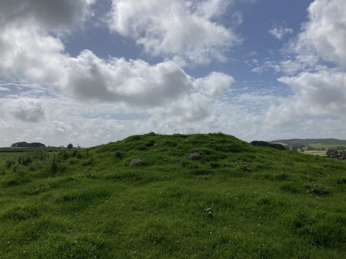
High Baltersan submitted by markj99 on 13th Aug 2023. High Baltersan Cairn viewed from north.
(View photo, vote or add a comment)
Log Text: Directions to High Baltersan Cairn: Take the Wigtown road off the A75 Newton Stewart roundabout. Stay on the road for c. 1.6 miles. Take a right turn down an unsigned single track road with passing places. After c. 0.7 miles turn left. Park up after c. 75 yards opposite a gate. High Baltersan Cairn is c. 160 yards ESE of the gate up a grassy slope, located c. 15 yards E of a natural rocky knoll. My route is viewable on High Baltersan Cairn.
Cairn Hill (Barraer)
Date Added: 21st Oct 2023
Site Type: Cairn
Country: Scotland (Dumfries and Galloway)
Visited: Yes on 11th Aug 2023. My rating: Condition 2 Ambience 4 Access 3

Cairn Hill (Barraer) submitted by markj99 on 13th Aug 2023. Field clearance stones in NW Arc of Cairn Hill (Barraer) Cairn.
(View photo, vote or add a comment)
Log Text: Directions to Cairn Hill (Barraer): Take the narrow unsigned road starting at NX 3953 6427 on the A75, c. 1.2 miles W of the A75 roundabout at Newton Stewart. Follow the winding lane for c. 2 miles to reach a lay-by at NX 38464 61246. Follow a rocky track heading W into a field then head uphill to Cairn Hill (Barraer). My route is viewable on Cairn Hill (Barraer).
Knockglass Cairn
Date Added: 21st Oct 2023
Site Type: Cairn
Country: Scotland (Dumfries and Galloway)
Visited: Yes on 11th Aug 2023. My rating: Condition 2 Ambience 4 Access 3
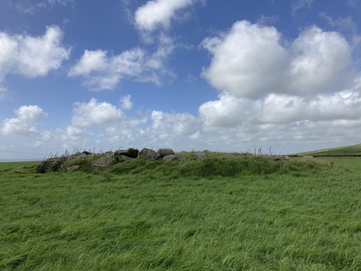
Knockglass Cairn submitted by markj99 on 14th Aug 2023. Cairn of Knockglass viewed from east.
(View photo, vote or add a comment)
Log Text: Directions to Cairn of Knockglass: Take the N turn off the A75 to Creetown. Park up in a lay-by on the left at NX 4707 5993 after 0.5 miles. Walk c. 450 yards N along the road to a path starting at NX 4684 6016. Follow the path through a wood for c. 0.4 mile to reach a junction. Turn right onto an uphill track heading NE. Follow this track for c. 0.5 miles to NX 4761 6114. Turn left following a track along the margin of a field for c. 400 yards to a ruined farm. Cairn of Knockglass is located c. 100 yards E in the field.
Cairn Wood (Barskeoch)
Date Added: 20th Oct 2023
Site Type: Cairn
Country: Scotland (Dumfries and Galloway)
Visited: Yes on 15th Aug 2023. My rating: Condition 2 Ambience 4 Access 3

Cairn Wood (Barskeoch) submitted by markj99 on 16th Aug 2023. Large stones deposited on southern arc of Cairn Wood (Barskeoch) Cairn.
(View photo, vote or add a comment)
Log Text: The route to Cairn Wood (Barskeoch) follows the old military road from Blackpark farm c. 1 mile W of Newton Stewart. There is space for a car to park at the junction with the A75. The final approach follows a track through fields to a cairn hidden in a wood. My route can be viewed on Cairn Wood (Barskeoch).
Craig Fell N
Date Added: 19th Oct 2023
Site Type: Cairn
Country: Scotland (Dumfries and Galloway)
Visited: Yes on 3rd Sep 2023. My rating: Condition 2 Ambience 4 Access 1
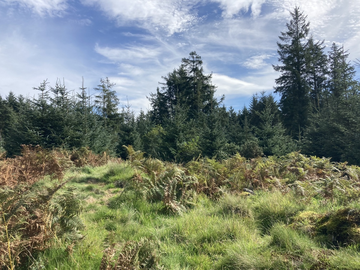
Craig Fell N submitted by markj99 on 5th Sep 2023. Craig Fell N Cairn viewed from West.
(View photo, vote or add a comment)
Log Text: There is a small car park at NX 1412 6188. It is preferable to have a bike from this point to reduce your travel time. Follow the Southern Upland Way signs SE for c. 400 yards to reach a locked gate. Follow the rocky road for c. 0.7 mile to a junction at NX 1488 6067. Turn right then follow the track for c. 1 mile to reach NX 1553 5955. Turn left then travel for c. 2.6 miles to NX 1720 6041. Craig Fell N Cairn is in a clearing c. 80 yards E of the track. Head E for 30 yards through scrubby trees to reach a stone wall. Climb over the wall. Head S between the forest and the wall looking for a vague path E after c. 30 yards. Follow it in a clearing with Craig Fell N Cairn in the centre.
Camrie Fell
Date Added: 19th Oct 2023
Site Type: Cairn
Country: Scotland (Dumfries and Galloway)
Visited: Yes on 5th Sep 2023. My rating: Condition 2 Ambience 3 Access 3
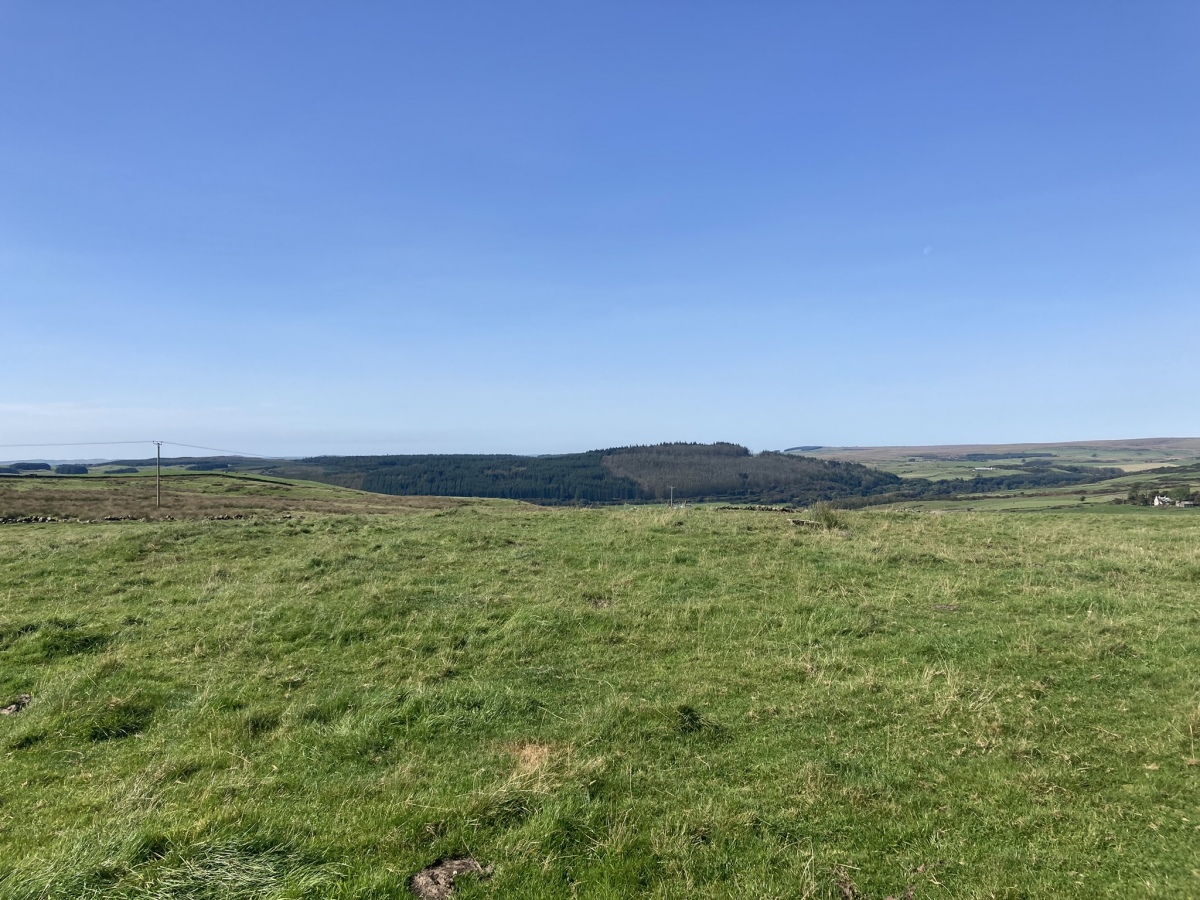
Camrie Fell submitted by markj99 on 9th Sep 2023. Camrie Fell Cairn viewed from East,
(View photo, vote or add a comment)
Log Text: Take the North St turn-off in Glenluce, heading for the Three Lochs. After c. 1.3 miles turn left down a narrow unsigned lane. Follow this single track lane for c. 0.9 miles. Take a sharp right turn at Keepers Cottage. This rough farm track leads to Gleniron Farm. After c. 0.3 of a mile you will reach a 90 degree corner at NX 1961 5983. There is room to park here. A gate leads NNE up a slope adjacent to a dry stane dyke to a ruined farm. Follow the track though the farm. The cairn is located c. 150 yards NNW in the next field.
St Mirren's Well
Date Added: 19th Oct 2023
Site Type: Holy Well or Sacred Spring
Country: Scotland (North Lanarkshire)
Visited: Yes on 6th Oct 2023. My rating: Condition 3 Ambience 4 Access 3

St Mirren's Well submitted by markj99 on 15th Oct 2023. St Mirren's Well Spring viewed from NW.
(View photo, vote or add a comment)
Log Text: Take the Tak-ma-Doon road, signed for Carronbridge, off the A803 Stirling Road in Kilsyth. Follow this narrow road for c. 1.1 miles to park in a lay-by opposite a quarry. Walk c. 120 yards up the road to a gateway. There is a ford c. 5 yards from the gateway so wellies are advised. After crossing the ford head uphill towards a gate into the adjacent field. St Mirren's Well is c. 150 yards W of the gate in a patch of rough grass.
Croy Hill Fort
Date Added: 19th Oct 2023
Site Type: Stone Fort or Dun
Country: Scotland (North Lanarkshire)
Visited: Yes on 6th Oct 2023. My rating: Condition 2 Ambience 3 Access 3

Croy Hill Fort submitted by markj99 on 18th Oct 2023. S Corner of Headquarters of Croy Hill Fort (Antonine Wall).
(View photo, vote or add a comment)
Log Text: On the N edge of Croy turn onto Nethercroy Road, signed for Croy Miner's Welfare Charitable Society. Follow this lane for c. 150 yards past new houses to a parking spot at the start of the John Muir/Croy Hill Path. After c. 250 yards go through a gate. Bear left to visit the remains of Antonine Wall then continue up the Croy Hill Path for c. 0.7 mile to reach Croy Hill Fort.
