Contributory members are able to log private notes and comments about each site
Sites Markj99 has logged. View this log as a table or view the most recent logs from everyone
Brownhill Burn
Date Added: 9th Jun 2021
Site Type: Cairn
Country: Scotland (Dumfries and Galloway)
Visited: Yes on 6th Jun 2021. My rating: Condition 2 Ambience 5 Access 3

Brownhill Burn submitted by markj99 on 6th Jun 2021. Lush patches of green moss on Brownhill Burn Cairn.
(View photo, vote or add a comment)
Log Text: There is a minor unsigned turn off the A713 halfway between Dalmellington and Carsphairn at NX 51747 99760. It leads past Lamford Farm to a dead end in forestry beside the Water of Deugh. After c. 1 mile you will pass Lamford Burn cairn on the L. After another c. 0.5 miles take the L fork. After c. 1.5 miles there is a newly constructed road signed for Water of Deugh Circular on the L. After c. 0.2 miles there is a large lay-by on the R. Walk up the road c. 120 yards, looking R to see Brownhill Burn Cairn with a Spruce sapling growing in the middle of the cairn c. 50 yards W of the road.
Water of Deugh
Date Added: 9th Jun 2021
Site Type: Chambered Cairn
Country: Scotland (Dumfries and Galloway)
Visited: Couldn't find on 6th Jun 2021
Water of Deugh submitted by markj99 on 22nd Nov 2020. Water of Deugh S Chamber
(View photo, vote or add a comment)
Log Text: Water of Deugh cairn is inside a restricted access construction zone for a wind farm. There was no completion date posted so it may be some time before Water of Deugh is accessible. Having been denied access by Red Tape I decided to approach Water of Deugh from another angle. It is possible to approach Water of Deugh by parking up in a passing place at NS 55614 01036 on the dead-end lane. Water of Deugh Cairn lies c. 250 yards WNW from this point. Unfortunately it is a stiff walk up a tree felled No Man's Land slope to reach the edge of the forest. On reaching the forest edge to look for a suitable forest ride I found multiple fallen trees forming an impenetrable barrier. At this point I took the hint and gave up.
Water of Deugh
Date Added: 9th Jun 2021
Site Type: Chambered Cairn
Country: Scotland (Dumfries and Galloway)
Visited: Yes on 5th May 2012. My rating: Condition 3 Ambience 5 Access 3
Water of Deugh submitted by markj99 on 22nd Nov 2020. Water of Deugh S Chamber
(View photo, vote or add a comment)
Log Text: Water of Deugh Cairn is off the beaten track hidden in forestry c. 7 miles N of Carsphairn. It was difficult to find, via a boggy forest ride, into a large clearing. The remains of Water of Deugh Cairn are quite impressive with two exposed chambers and extensive stone structures visible. A modern dry stane dyke has been built on the cairn and an unwelcome Spruce tree has rooted close to a chamber.
Burford Down Stone Row
Date Added: 9th Jun 2021
Site Type: Stone Row / Alignment
Country: England (Devon)
Visited: Yes on 2nd Sep 2020. My rating: Condition 3 Ambience 5 Access 3
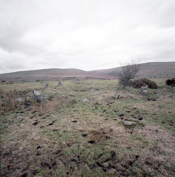
Burford Down Stone Row submitted by Tom_Bullock on 9th Jul 2002. The Burford Down stone row, one of the finest in
Dartmoor, shows evidence of recent damage by whatever farmer is running
huge tractors across the fields. S(he) has been driving right through
the rows (perpendicular to them) along several tracks. I saw evidence of
at least 3 stones that had been dislodged and pushed aside by the wheels
of the tractor. I don't know if there is a procedure for reporting such
damage, or even if the farmer is liable for such damage. I have never, in my 12 year...
(View photo, vote or add a comment)
Log Text: The small stones which largely make up Burford Down Stone Row are not visually impressive but the length of the stone row is extensive. It was interesting to investigate gaps in the row for buried stones.
Burford Down Cairn Circle
Date Added: 9th Jun 2021
Site Type: Stone Circle
Country: England (Devon)
Visited: Yes on 2nd Sep 2020. My rating: Condition 2 Ambience 4 Access 3

Burford Down Stone Row submitted by Tom_Bullock on 9th Jul 2002. The Burford Down stone row, one of the finest in
Dartmoor, shows evidence of recent damage by whatever farmer is running
huge tractors across the fields. S(he) has been driving right through
the rows (perpendicular to them) along several tracks. I saw evidence of
at least 3 stones that had been dislodged and pushed aside by the wheels
of the tractor. I don't know if there is a procedure for reporting such
damage, or even if the farmer is liable for such damage. I have never, in my 12 year...
(View photo, vote or add a comment)
Log Text: Burford Down Cairn Circle is partially hidden by gorse but the two upright kerb stones identified it as an ancient site. In the middle of the cairn there is an open chamber with one lining stone remaining.
Cae Coch
Date Added: 9th Jun 2021
Site Type: Standing Stone (Menhir)
Country: Wales (Conwy)
Visited: Yes on 20th Apr 2011. My rating: Condition 4 Ambience 5 Access 4
Cae Coch submitted by TimPrevett on 9th Apr 2004. A composite of the spectacular back drop to the south west of Cae Coch standing stone, a short walk from the Rowen Youth Hostel, along with numerous other ancient monuments.
(View photo, vote or add a comment)
Log Text: A narrow road winds up into the Welsh hills from Tal-y-bont (Conwy) on the B5106 signed for Llanbedr-y-cennin. Stay straight on this narrow lane for c. 3 miles to reach a 90 degree bend at Cae Coch. It is possible to park on the corner otherwise walk back from the nearest passing place. Follow the track E for c. 0.33 miles to see Cae Coch Standing Stone in the field on the L.
This c. 7 foot stone is one of many ancient sites in the area.
Bwlch y Ddeufaen
Date Added: 11th Jun 2021
Site Type: Standing Stones
Country: Wales (Conwy)
Visited: Yes on 20th Apr 2011. My rating: Condition 4 Ambience 5 Access 3
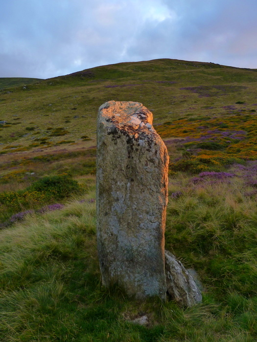
Bwlch y Ddeufaen submitted by Bladup on 8th Nov 2016. Bwlch y Ddeufaen. One of the most beautiful lights I've ever seen at the western stone.
(View photo, vote or add a comment)
Log Text: A narrow road winds up into the Welsh hills from Tal-y-bont (Conwy) on the B5106 signed for Llanbedr-y-cennin. Stay straight on this narrow lane for c. 4 miles to reach a Car Park at SH 7206 7153.
Bwlch y Ddeufaen standing stones are c. 0.5 miles from here along the Roman Road. Both stones are impressive however the distance between them and the dissimilarity of shape suggests to me that they are individual way markers rather than paired stones. There are several cairns nearby which lend weight to this theory.
Drumtroddan Stone Row
Date Added: 24th Jul 2021
Site Type: Stone Row / Alignment
Country: Scotland (Dumfries and Galloway)
Visited: Yes on 23rd Jul 2021. My rating: Condition 3 Ambience 4 Access 4

Drumtroddan Stone Row submitted by DavidRaven on 26th Jun 2005. Description useless. Go visit :-)
(View photo, vote or add a comment)
Log Text: Despite the SW stone having fallen, the site still retains a significant presence. It's proximity to Drumtroddan Cup and Ring Marked Stones is convenient.
Giant's Dike
Date Added: 18th Feb 2022
Site Type: Hillfort
Country: Scotland (Dumfries and Galloway)
Visited: Yes on 14th Feb 2022. My rating: Condition 2 Ambience 4 Access 3
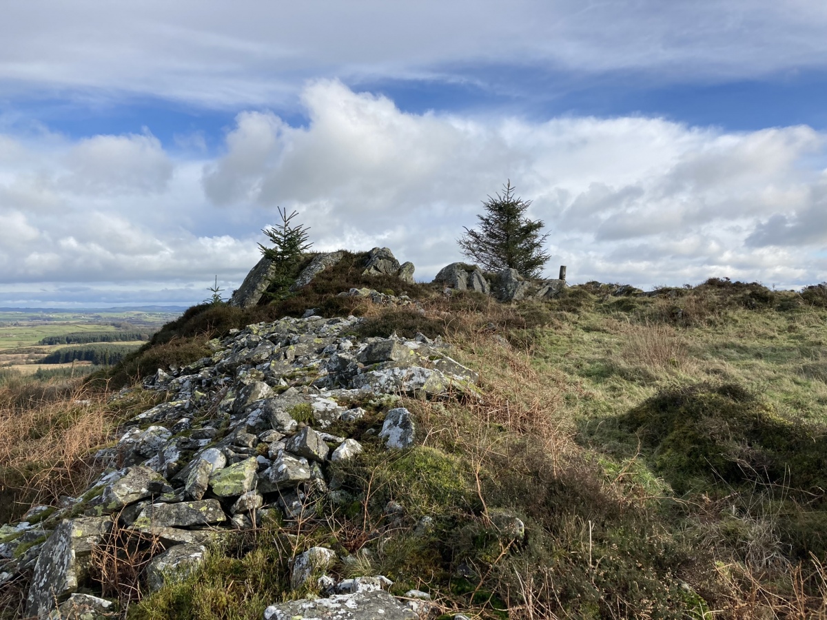
Giant's Dike submitted by markj99 on 18th Feb 2022. N Wall of Giant's Dike Hillfort.
(View photo, vote or add a comment)
Log Text: Giant's Dike Hillfort is easily visited from a trail leading N from Barstobrick Visitor centre. It is easily spotted by heading for the prominent Nielson's Monument on the summit of the hill. The path is muddy in places so stout footwear is advised.
Cairnerzean Farm NE
Date Added: 18th Feb 2022
Site Type: Cairn
Country: Scotland (Dumfries and Galloway)
Visited: Yes on 8th Feb 2022. My rating: Condition 2 Ambience 3 Access 3

Cairnerzean Farm NE submitted by markj99 on 18th Feb 2022. Earthfast stone measuring c. 12 x 12 x 18 inches in E Arc of Cairnerzean Farm NE Cairn.
(View photo, vote or add a comment)
Log Text: There is parking space at NX 1502 6755 on the minor road from New Luce to Penwhirn Reservoir c. 0.25 miles S of Cairnerzean Farm road. The Cairnerzean Cairns are within 100 yards S of the lay-by. It is better to visit in Autumn or Winter when the bracken has died off revealing the true footprints of the cairns.
Cairnerzean Farm SW
Date Added: 18th Feb 2022
Site Type: Cairn
Country: Scotland (Dumfries and Galloway)
Visited: Yes on 8th Feb 2022. My rating: Condition 2 Ambience 3 Access 3

Cairnerzean Farm SW submitted by markj99 on 18th Feb 2022. Cairnerzean Farm SW Cairn viewed from E.
(View photo, vote or add a comment)
Log Text: There is parking space at NX 1502 6755 on the minor road from New Luce to Penwhirn Reservoir c. 0.25 miles S of Cairnerzean Farm road. The Cairnerzean Cairns are within 100 yards S of the lay-by. It is better to visit in Autumn or Winter when the bracken has died off revealing the true footprints of the cairns.
Cairnerzean Fell Summit
Date Added: 19th Feb 2022
Site Type: Cairn
Country: Scotland (Dumfries and Galloway)
Visited: Yes on 9th Feb 2022. My rating: Condition 2 Ambience 4 Access 1

Cairnerzean Fell Summit submitted by markj99 on 19th Feb 2022. Cairnerzean Fell Summit Cairn viewed from S.
(View photo, vote or add a comment)
Log Text: Cairnerzean Fell Summit Cairn is one of the Cairnerzean Fell Cairn Group on open moorland. The cairns vary in states of preservation from entirely robbed out to relatively intact. Cairnerzean Fell Summit Cairn has been extensively robbed and modified with a sheep ree and a modern cairn.
Lingdowey Burn N
Date Added: 20th Feb 2022
Site Type: Cairn
Country: Scotland (Dumfries and Galloway)
Visited: Yes on 9th Feb 2022. My rating: Condition 3 Ambience 4 Access 1
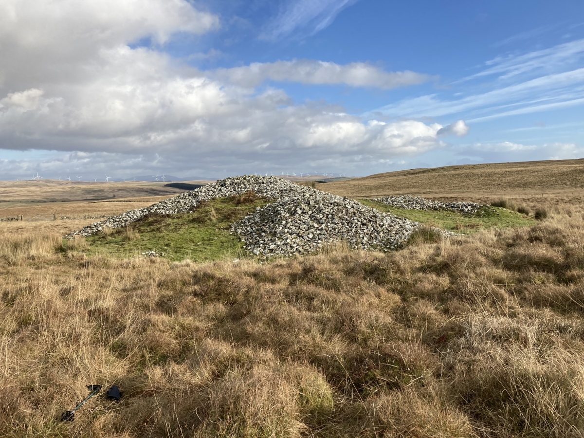
Lingdowey Burn N submitted by markj99 on 20th Feb 2022. Lingdowey Burn N Cairn viewed from W.
(View photo, vote or add a comment)
Log Text: Lingdowey Burn N Cairn is one of the Cairnerzean Fell Cairn Group on open moorland. The cairns vary in states of preservation from entirely robbed out to relatively intact. Lingdowey Burn N is a large round cairn prominent in the landscape. It has been extensively robbed leaving the majority of the remaining stones in a mound in the N Arc.
Lingdowey Burn S
Date Added: 20th Feb 2022
Site Type: Cairn
Country: Scotland (Dumfries and Galloway)
Visited: Yes
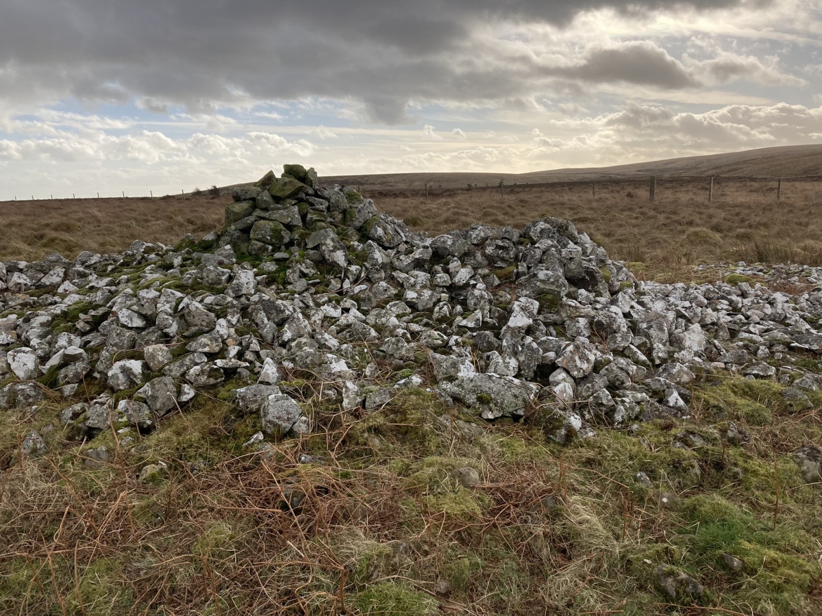
Lingdowey Burn S submitted by markj99 on 20th Feb 2022. Summit of Lingdowey Burn S Cairn viewed from N.
(View photo, vote or add a comment)
Log Text: Lingdowey Burn S Cairn is one of the Cairnerzean Fell Cairn Group on open moorland. The cairns vary in states of preservation from entirely robbed out to relatively intact. Lingdowey Burn S Cairn is similar to its neighbour, Lingdowey Burn N Cairn. It has a scatter of stones over the entire cairn however the addition of a modern cairn and shelter in the centre of the cairn have reduced its authenticity.
Cairnerzean Fell Central
Date Added: 20th Feb 2022
Site Type: Cairn
Country: Scotland (Dumfries and Galloway)
Visited: Yes on 9th Feb 2022
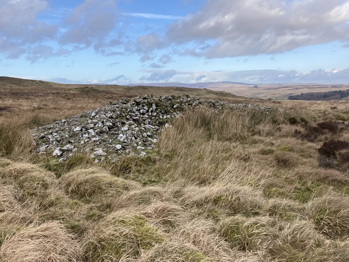
Cairnerzean Fell Central submitted by markj99 on 19th Feb 2022. Cairnerzean Fell Central Cairn viewed from S.
(View photo, vote or add a comment)
Log Text: Cairnerzean Fell Central Cairn is one of the Cairnerzean Fell Cairn Group on open moorland. The cairns vary in states of preservation from entirely robbed out to relatively intact. Cairnerzean Fell Central Cairn has been extensively robbed leaving a c. 4 feet high crescent of stones in the NE Arc of the original cairn. The remainder of the cairn has disappeared into a circle of boggy moorland.
Cairnerzean Fell N
Date Added: 20th Feb 2022
Site Type: Cairn
Country: Scotland (Dumfries and Galloway)
Visited: Yes on 9th Feb 2022. My rating: Condition 3 Ambience 4 Access 1

Cairnerzean Fell N submitted by markj99 on 19th Feb 2022. Cairnerzean Fell N Cairn viewed from W.
(View photo, vote or add a comment)
Log Text: Cairnerzean Fell N Cairn is one of the Cairnerzean Fell Cairn Group on open moorland. The cairns vary in states of preservation from entirely robbed out to relatively intact. Cairnerzean Fell N Cairn is the best preserved of the group with an intact central mound. The stone kerb is intact round the perimeter but stone robbing has left a void between the kerb and the central mound.
Cairnerzean Fell South
Date Added: 20th Feb 2022
Site Type: Cairn
Country: Scotland (Dumfries and Galloway)
Visited: Yes on 9th Feb 2022. My rating: Condition 1 Ambience 4 Access 1

Cairnerzean Fell South submitted by markj99 on 19th Feb 2022. Centre of Cairnerzean Fell S Cairn viewed from S.
(View photo, vote or add a comment)
Log Text: Cairnerzean Fell S Cairn is one of the Cairnerzean Fell Cairn Group on open moorland. The cairns vary in states of preservation from entirely robbed out to relatively intact. Cairnerzean Fell S Cairn is the most speculative of the group. There is a grassy circular footprint c. 20 yards across in rough moorland but all the stones have been removed. There is a natural rocky knoll in the centre of the cairn.
Lingdowey Burn E
Date Added: 26th Feb 2022
Site Type: Cairn
Country: Scotland (Dumfries and Galloway)
Visited: Yes on 25th Feb 2022. My rating: Condition 2 Ambience 4 Access 3
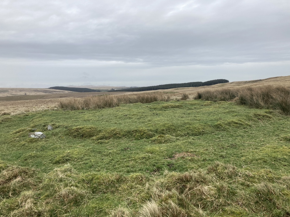
Lingdowey Burn E submitted by markj99 on 26th Feb 2022. Lingdowey Burn E Cairn viewed from W.
(View photo, vote or add a comment)
Log Text: Lingdowey Burn E is difficult to access across rough boggy ground SSW of Cairnerzean Farm SW Cairn. Wellies and GPS navigation are strongly recommended. The ruined cairn has a presence despite being entirely stone-robbed.
Rutherford's Well
Date Added: 11th Mar 2022
Site Type: Holy Well or Sacred Spring
Country: Scotland (Dumfries and Galloway)
Visited: Yes on 19th May 2019. My rating: Condition 3 Ambience 4 Access 4

Rutherford's Well submitted by kelpie on 13th Jul 2004. This well is accessed via the path to the right of the ruined church in Anwoth. The well is housed in a domed building and there is a low stone trough outside.
NX 58384 56221
(View photo, vote or add a comment)
Log Text: Directions: Take the minor road for Anwoth off the A75 c. 0.5 miles W of the Cardoness Castle Gatehouse of Fleet junction with the A75. Stay on this narrow road for c. 0.6 mile passing by the current Anwoth Church to reach the ruins of Anwoth Old Kirk. A path heads E from the car park S of the graveyard. Follow the path across a field to the edge of the wood. Rutherford's Well is visible c. 40 yards N of here.
Rutherford's Well itself is not spectacular but it can be combined with a visit to Anwoth Old Kirk. featured in the 1973 film The Wicker Man, and Rutherford's Monument further E.
Trusty's Hill
Date Added: 11th Mar 2022
Site Type: Hillfort
Country: Scotland (Dumfries and Galloway)
Visited: Yes on 7th Mar 2022. My rating: Condition 2 Ambience 4 Access 3

Trusty's Hill submitted by dodomad on 28th Jan 2017. Trusty's Hill aflame
Photo Credit:
© GUARD Archaeology Ltd
(View photo, vote or add a comment)
Log Text: I accessed Trusty's Hill from Rutherford's Monument but it is normally approched via Vinnie Hill on the outskirts of Gatehouse of Fleet. I found the remains of the hillfort difficult to interpret but the elevated site has panoramic views all round.
