Contributory members are able to log private notes and comments about each site
Sites Markj99 has logged. View this log as a table or view the most recent logs from everyone
Cairn Hill (Dalquharran)
Date Added: 6th Nov 2023
Site Type: Cairn
Country: Scotland (South Ayrshire)
Visited: Yes on 1st Aug 2023. My rating: Condition 1 Ambience 3 Access 4
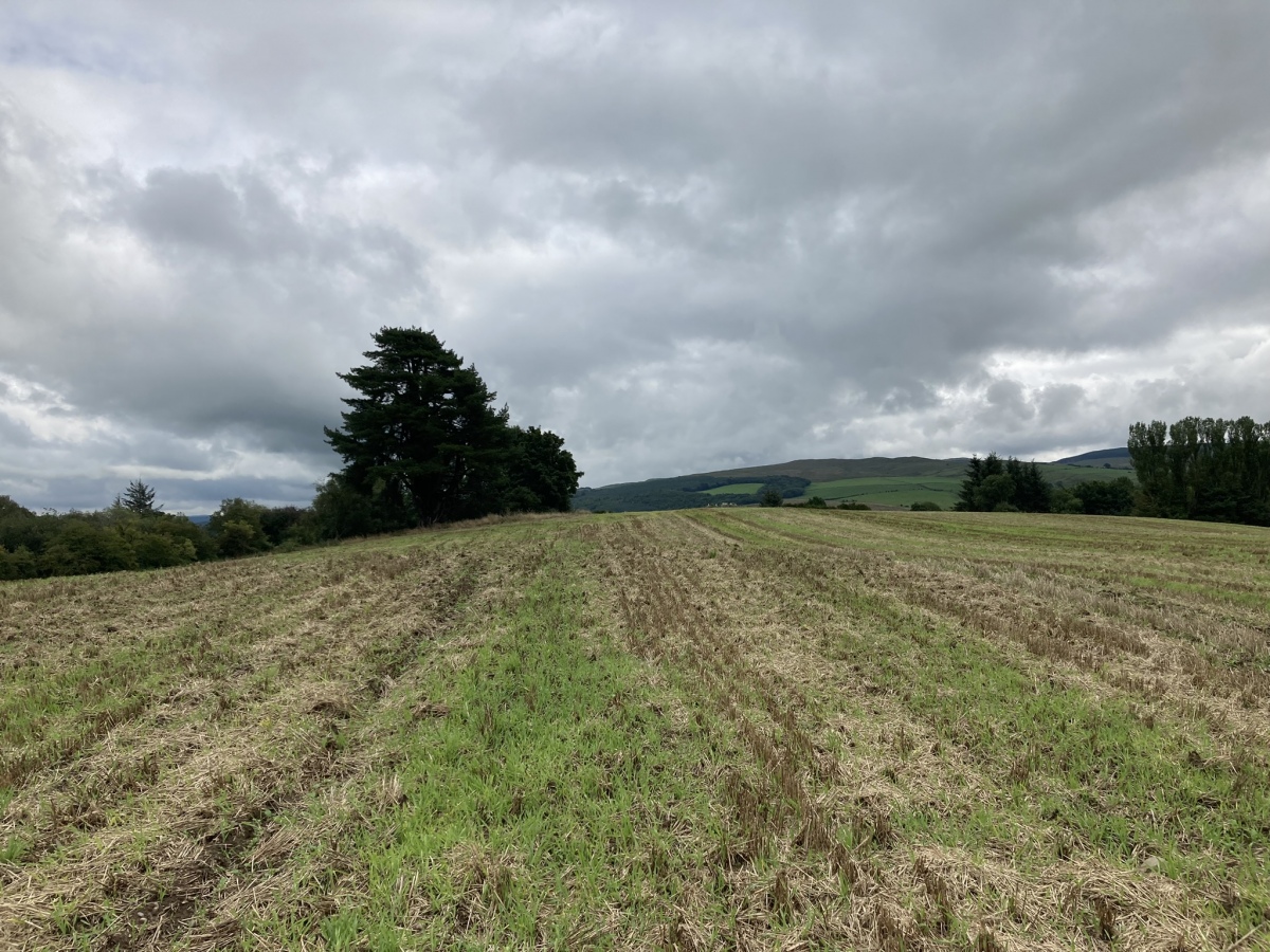
Cairn Hill (Dalquharran) submitted by markj99 on 1st Aug 2023. Cairn Hill (Dalquharran) Cairn viewed from west.
(View photo, vote or add a comment)
Log Text: Directions to Cairn Hill (Dalquharran) : Take the B741 Dailly road off the A77, N of Girvan. After c. 5 miles stay straight on for Maybole at the Dailly junction. Continue for 75 yards to park up in estate gates on the right. Walk c. 100 yards S into the estate to reach a path heading E into a wood. Follow the path E for c. 150 yards then head S for c. 50 yards along a path heading into a field. The cairn is c. 130 yards SE of the entrance into the field.
Captain's Bridge (Drummochreen) SE
Date Added: 6th Nov 2023
Site Type: Stone Fort or Dun
Country: Scotland (South Ayrshire)
Visited: Yes on 2nd May 2023. My rating: Condition 2 Ambience 4 Access 4
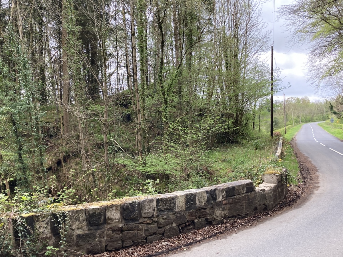
Captain's Bridge (Drummochreen) SE submitted by markj99 on 14th May 2023. Captain's Bridge (Drummochreen) SE Dun viewed from Captain's Bridge.
(View photo, vote or add a comment)
Log Text: Directions to Captain's Bridge (Drummochreen) SE: Take the B741 Dailly road off the A77, N of Girvan. After c. 5 miles stay straight on for Maybole at the Dailly junction. Continue towards Maybole for c. 1.7 miles to a farm junction on the left. Park up and walk c. 150 yards SW round the corner to Captain's Bridge (Drummochreen) SE on the S end of the bridge.
Moss Knowes
Date Added: 14th Nov 2023
Site Type: Natural Stone / Erratic / Other Natural Feature
Country: Scotland (South Ayrshire)
Visited: Yes on 26th Sep 2009. My rating: Condition 4 Ambience 4 Access 1
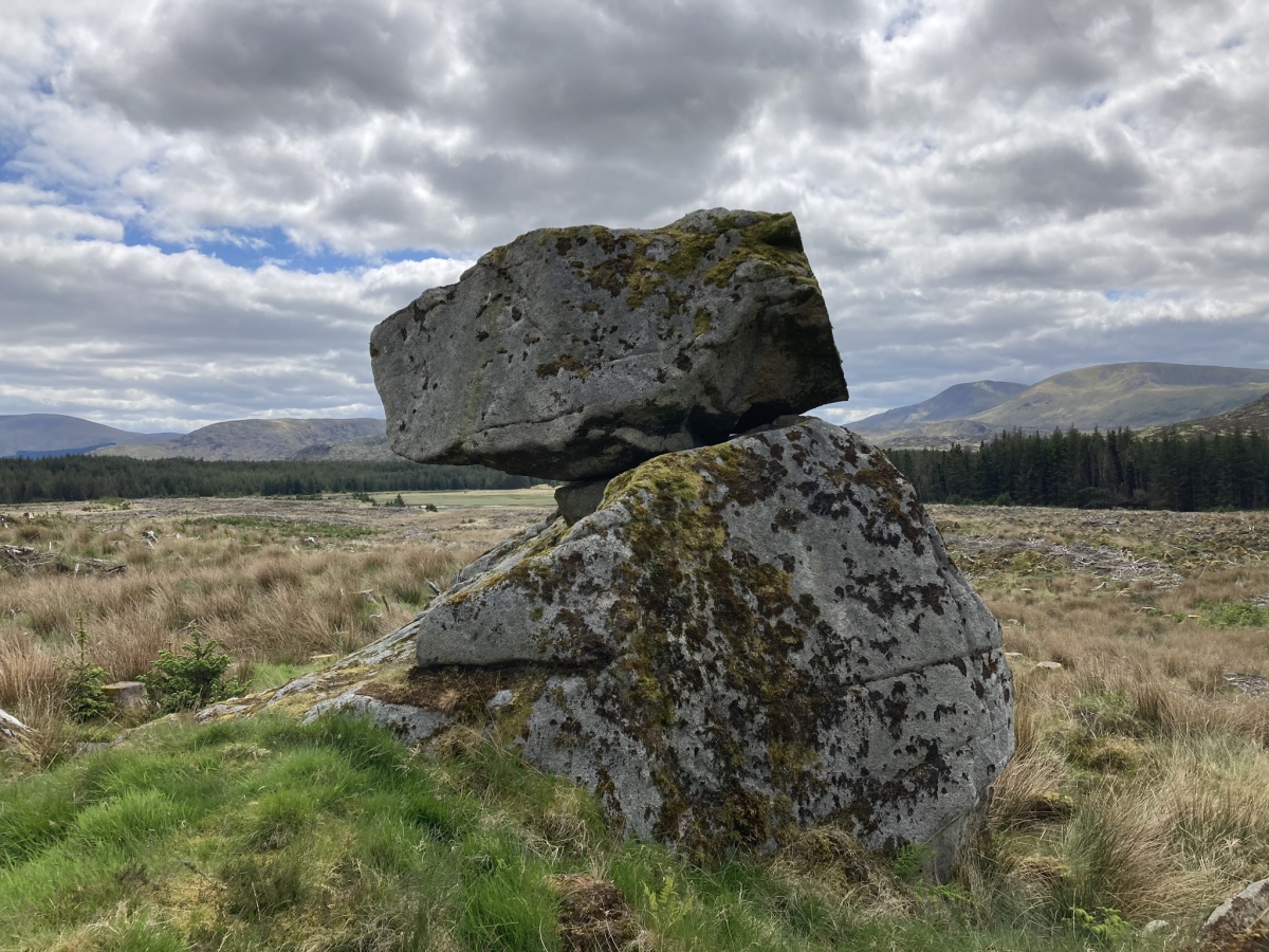
Moss Knowes submitted by markj99 on 28th May 2023. Moss Knowes Rocking Stone viewed from NW.
(View photo, vote or add a comment)
Log Text: When I first saw Moss Knowes Rocking Stone it was on the edge of a pine forest on the way to Tunskeen Bothy.
Moss Knowes
Date Added: 14th Nov 2023
Site Type: Natural Stone / Erratic / Other Natural Feature
Country: Scotland (South Ayrshire)
Visited: Yes on 27th May 2023. My rating: Condition 4 Ambience 4 Access 1

Moss Knowes submitted by markj99 on 28th May 2023. Moss Knowes Rocking Stone viewed from NW.
(View photo, vote or add a comment)
Log Text: On my return to Moss Knowe Rocking Stone, the pine forest had been felled. The stone was now on the edge of a large clearing, still intact.
Lyonston Stone
Date Added: 28th Nov 2023
Site Type: Standing Stone (Menhir)
Country: Scotland (South Ayrshire)
Visited: Yes on 28th Nov 2023. My rating: Condition 4 Ambience 3 Access 4

Lyonston Stone submitted by markj99 on 29th Jun 2019. Lyonston Stone viewed from N.
(View photo, vote or add a comment)
Log Text: I took the opportunity to revisit Lyonston Stone while travelling through Maybole. I normally take the Maybole bypass to and from Ayr. Take the Kirkmichael Road at the E edge of Maybole. After a quarter of a mile there lay-by on the right side of the road. Walk 25 yards back towards Maybole to the iron stile into the field on your right. Follow the wall for 75 yards to the iron stile at which point you can see the stone left of you in the next field.
Captain's Bridge (Drummochreen) W
Date Added: 28th Nov 2023
Site Type: Hillfort
Country: Scotland (South Ayrshire)
Visited: Yes on 2nd May 2023. My rating: Condition 2 Ambience 4 Access 4
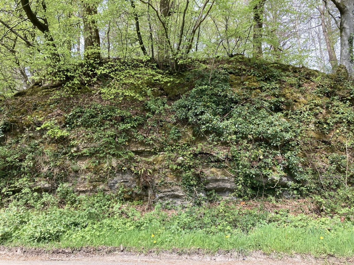
Captain's Bridge (Drummochreen) W submitted by markj99 on 15th May 2023. Captain's Bridge (Drummochreen) W Hillfort viewed from Captain's Bridge.
(View photo, vote or add a comment)
Log Text: Directions to Captain's Bridge (Drummochreen) W: Take the B741 Dailly road off the A77, N of Girvan. After c. 5 miles stay straight on for Maybole at the Dailly junction. Continue towards Maybole for c. 1.7 miles to a farm junction on the left at NS 28593 03605. Park up and walk c. 120 yards W along the dirt track to a green track on the left. Walk 5 yards along the green track. Look left to see the outer bank and ditch of the fort. Climb over the bank to enter the enclosure of Captain's Bridge (Drummochreen) W fort.
Millmoan Hill
Date Added: 19th May 2024
Site Type: Cairn
Country: Scotland (South Ayrshire)
Visited: Yes on 16th May 2024. My rating: Condition 2 Ambience 4 Access 3
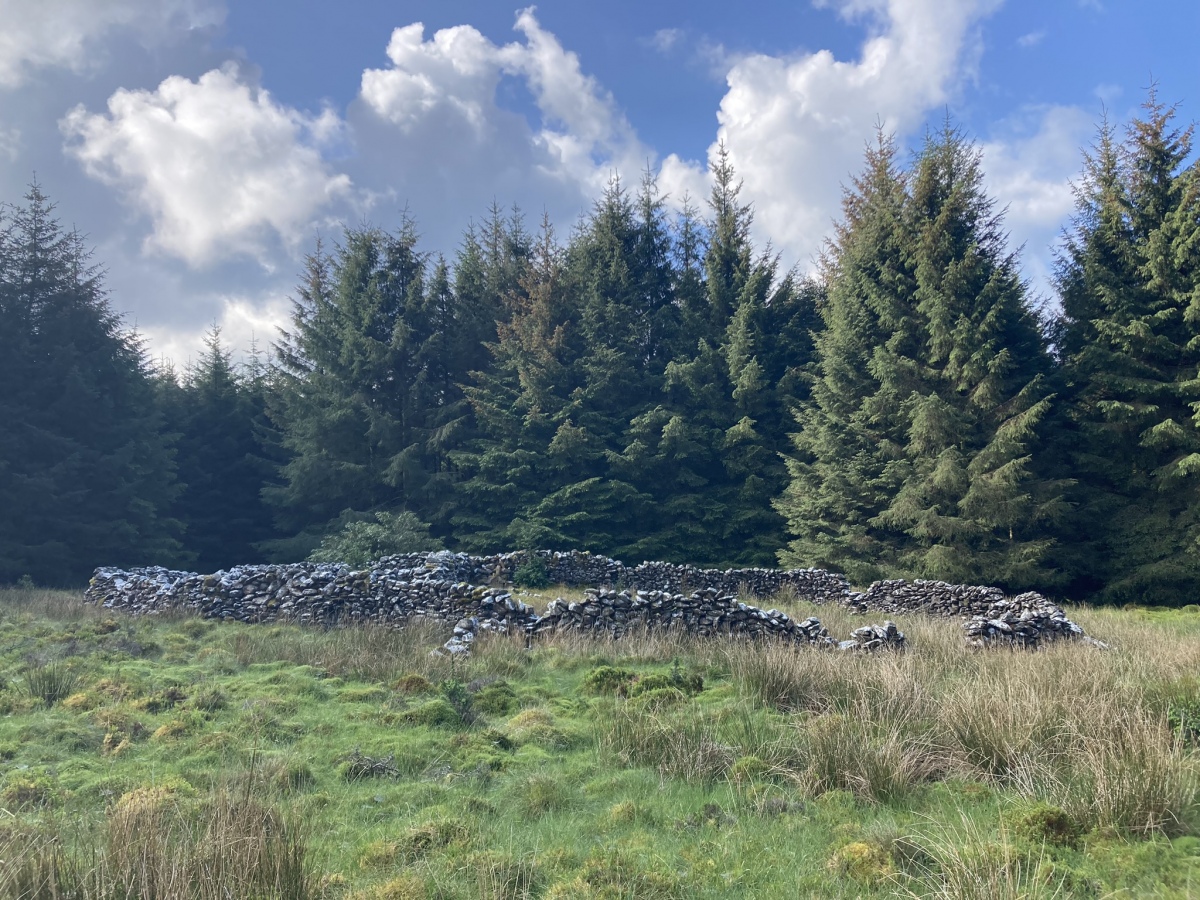
Millmoan Hill submitted by markj99 on 18th May 2024. Millmoan Hill Cairn viewed from N.
(View photo, vote or add a comment)
Log Text: Millmoan Hill Cairn is located in a forest clearing, easily accessed via an obscure forest track off the A77. Directions are available in Comments on the site page.
Duniewick
Date Added: 1st Aug 2024
Site Type: Hillfort
Country: Scotland (South Ayrshire)
Visited: Yes on 17th Jul 2024. My rating: Condition 2 Ambience 5 Access 3
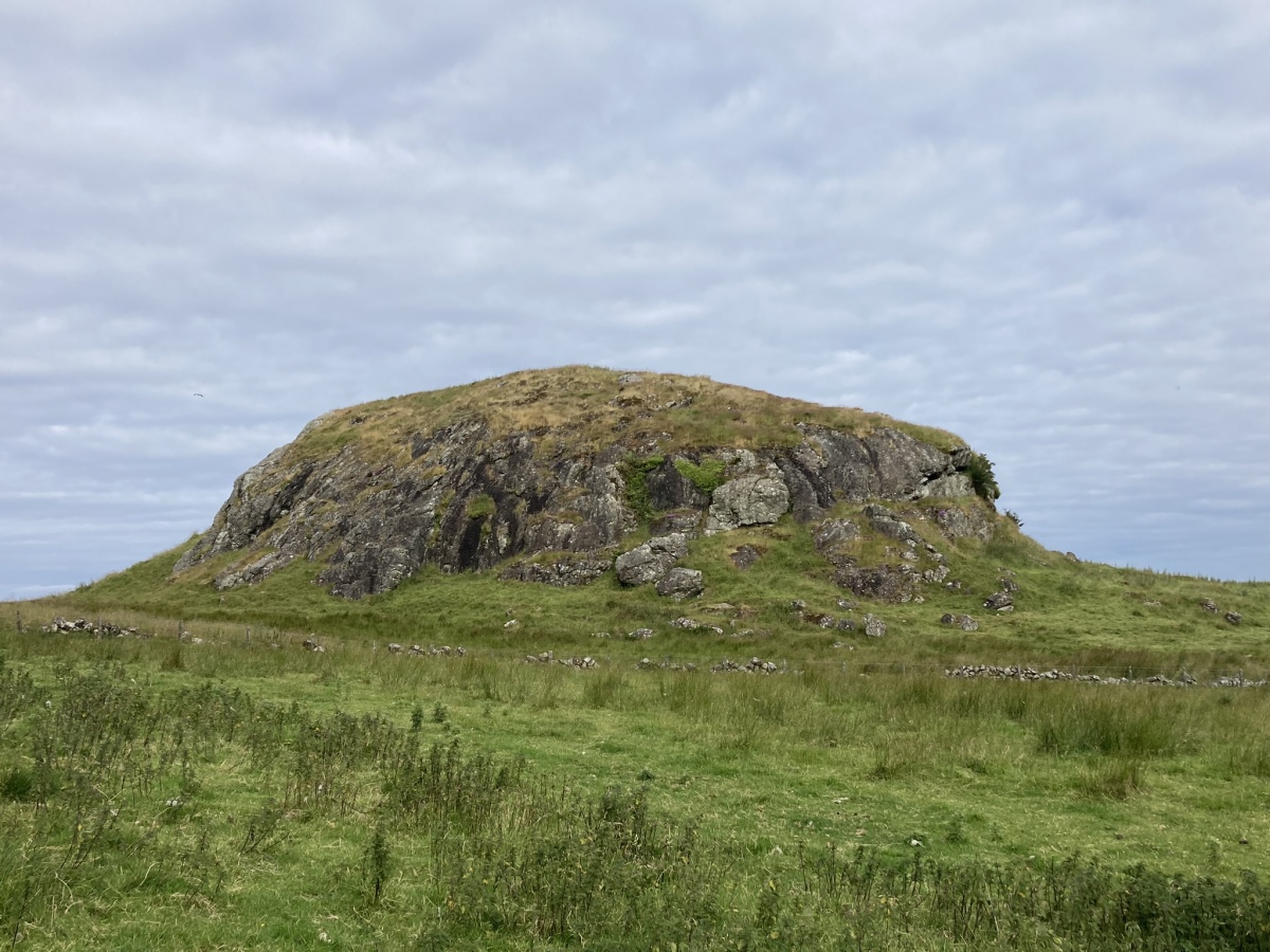
Duniewick submitted by markj99 on 25th Jul 2024. Duniewick Crag viewed from SE.
(View photo, vote or add a comment)
Log Text: Duniewick Hillfort is sited on Duniewick Crag, a large natural knoll on the NW slope of Knockdolian. It is possible to visit Knockdolian Cairn, given enough time and energy.
Knockeen Cairn
Date Added: 31st Jul 2024
Site Type: Cairn
Country: Scotland (South Ayrshire)
Visited: Yes on 14th Jul 2024. My rating: Condition 4 Ambience 4 Access 3
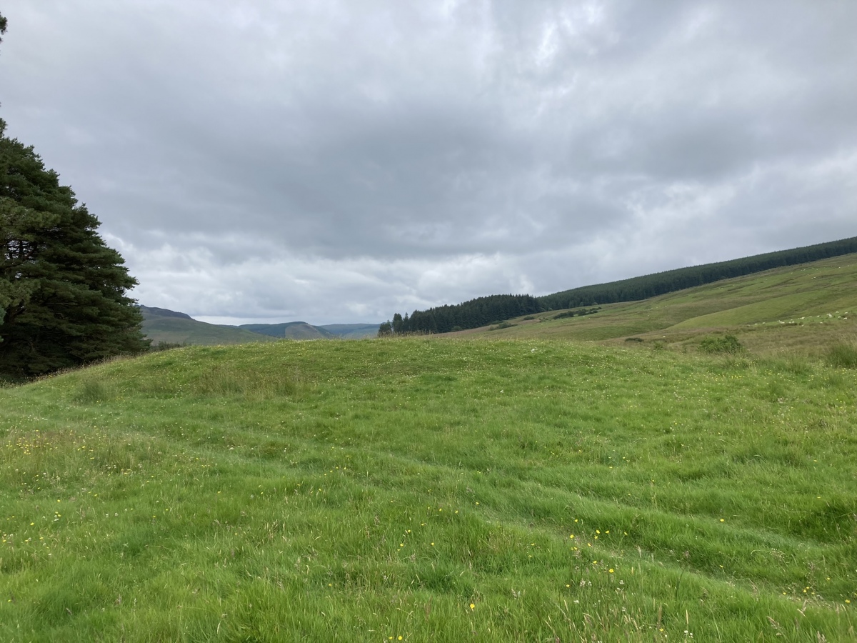
Knockeen Cairn submitted by markj99 on 23rd Jul 2024. Knockeen Cairn viewed from W.
(View photo, vote or add a comment)
Log Text: Knockeen is a hidden cairn, screened from view by a strip of trees. Access is via a farm track leading to the E side of the trees. The round grassy mound appears to be undisturbed except for a small central excavation. Directions are available on the site page.
Pinbreck Hill
Date Added: 1st Aug 2024
Site Type: Cairn
Country: Scotland (South Ayrshire)
Visited: Yes on 14th Jul 2024. My rating: Condition 2 Ambience 4 Access 3
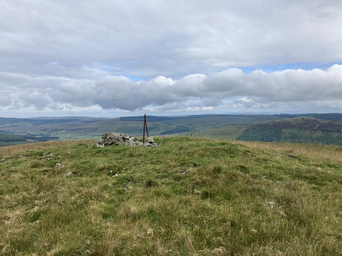
Pinbreck Hill submitted by markj99 on 22nd Jul 2024. Pinbreck Hill Cairn viewed from SE.
(View photo, vote or add a comment)
Log Text: Pinbreck Hill Cairn is in the middle of nowhere, ruined and on the summit of a pathless hill. My philosophy is that there is more satisfaction to be gained from finding this site than being one of hundreds of people at Stonehenge.
Witching Stone (Dipple)
Date Added: 26th Oct 2024
Site Type: Standing Stone (Menhir)
Country: Scotland (South Ayrshire)
Visited: Yes on 25th Oct 2024. My rating: Condition 4 Ambience 4 Access 3
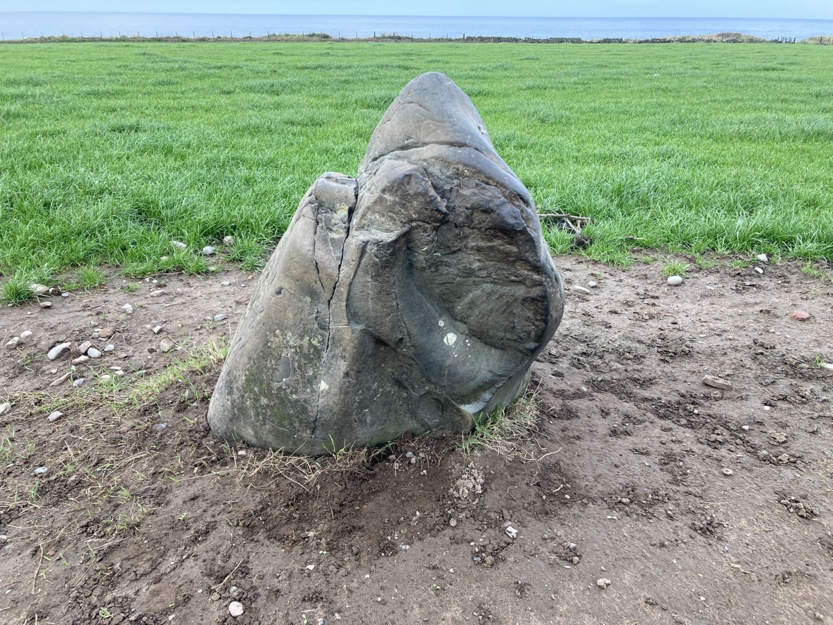
Witching Stone (Dipple) submitted by markj99 on 26th Oct 2024. Witching Stone (Dipple) viewed from SE.
(View photo, vote or add a comment)
Log Text: I have been driving past this stone for more years than I care to remember. It is often surrounded by potatoes and vegetation. When I saw the naked standing stone I knew I had to record it for posterity.
Auchensoul Hill
Date Added: 8th Jan 2025
Site Type: Cairn
Country: Scotland (South Ayrshire)
Visited: Yes on 29th Dec 2024. My rating: Condition 2 Ambience 5 Access 3
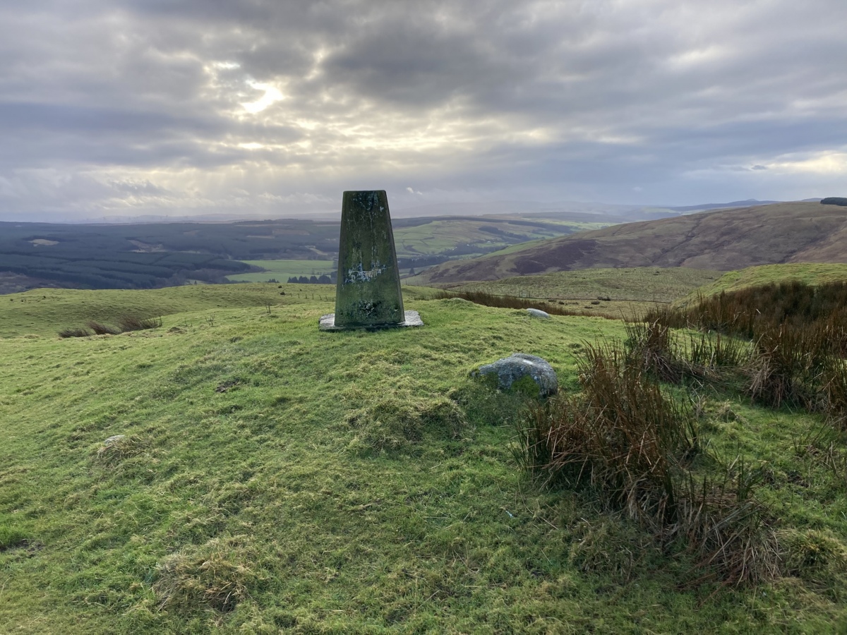
Auchensoul Hill submitted by markj99 on 7th Jan 2025. Auchensoul Hill Cairn viewed from NNE.
(View photo, vote or add a comment)
Log Text: Auchensoul Hill is located c. 0.8 mile WNW of Barr. You can park in the centre of the village then walk W to cross the Stinchar Bridge. Follow the road N to reach a signed footpath on the left. The vague path heads W uphill through moorland grass. Trees have been recently planted on the E slopes of Auchensoul Hill, surrounded by a deer fence. Continue W along the line of the deer fence until you reach a gate in the deer fence. Go through the gate into rough green pasture. Head NW up a steep slope towards the summit of Auchensoul Hill. It is a rocky knoll surmounted by an OS Trig Point at NX 26391 94548.
The vague path up to Auchensoul Hill is steep through boggy moorland ground,
requiring sturdy boots and GPS navigation ideally.
Law Knowe
Date Added: 23rd Nov 2023
Site Type: Cairn
Country: Scotland (South Lanarkshire)
Visited: Yes on 2nd May 2023

Law Knowe submitted by markj99 on 3rd May 2023. Law Knowe viewed from S.
(View photo, vote or add a comment)
Log Text: The location of Lab Knowe has been preserved for future antiquarians, however the grass mound with a modern stone marker cairn and information plaque is scant compensation for the destruction of an ancient cairn.
An Carra
Date Added: 15th Jan 2025
Site Type: Standing Stone (Menhir)
Country: Scotland (South Uist)
Visited: Yes on 30th Jun 2011. My rating: Condition 4 Ambience 5 Access 3

An Carra submitted by SandyG on 20th May 2016. View from south (28 August 2015).
(View photo, vote or add a comment)
Log Text: When travelling to South Uist, An Carra is a must visit site. Stoneybridge Water Treatment Works has an access road off the A865 c. 600 yards before reaching Stoneybride, a small village in the middle of South Uist. There is room to park opposite the access road. Walk 0.5 miles up the road and the massive stone will appear on the L.
An Carra must be one of the largest standing stones in Scotland at 17 ft high and nearly 5 ft wide.
Pollachar
Date Added: 25th Dec 2022
Site Type: Standing Stone (Menhir)
Country: Scotland (South Uist)
Visited: Yes on 29th Jun 2011. My rating: Condition 3 Ambience 3 Access 5

Pollachar submitted by h_fenton on 20th Jul 2006. Pollachar standing stone, South Uist. view from south west, showing proximity to the Pollachar Inn behind
(View photo, vote or add a comment)
Log Text: You would have thought that a tall standing stone on the roadside of a pub would be ideal. However, Pollachar Standing Stone's proximity to civilisation seem to detract from its antiquity.
Ardvreck
Date Added: 14th Apr 2021
Site Type: Chambered Cairn
Country: Scotland (Sutherland)
Visited: Yes on 28th Jul 2015. My rating: Condition 2 Ambience 3 Access 4
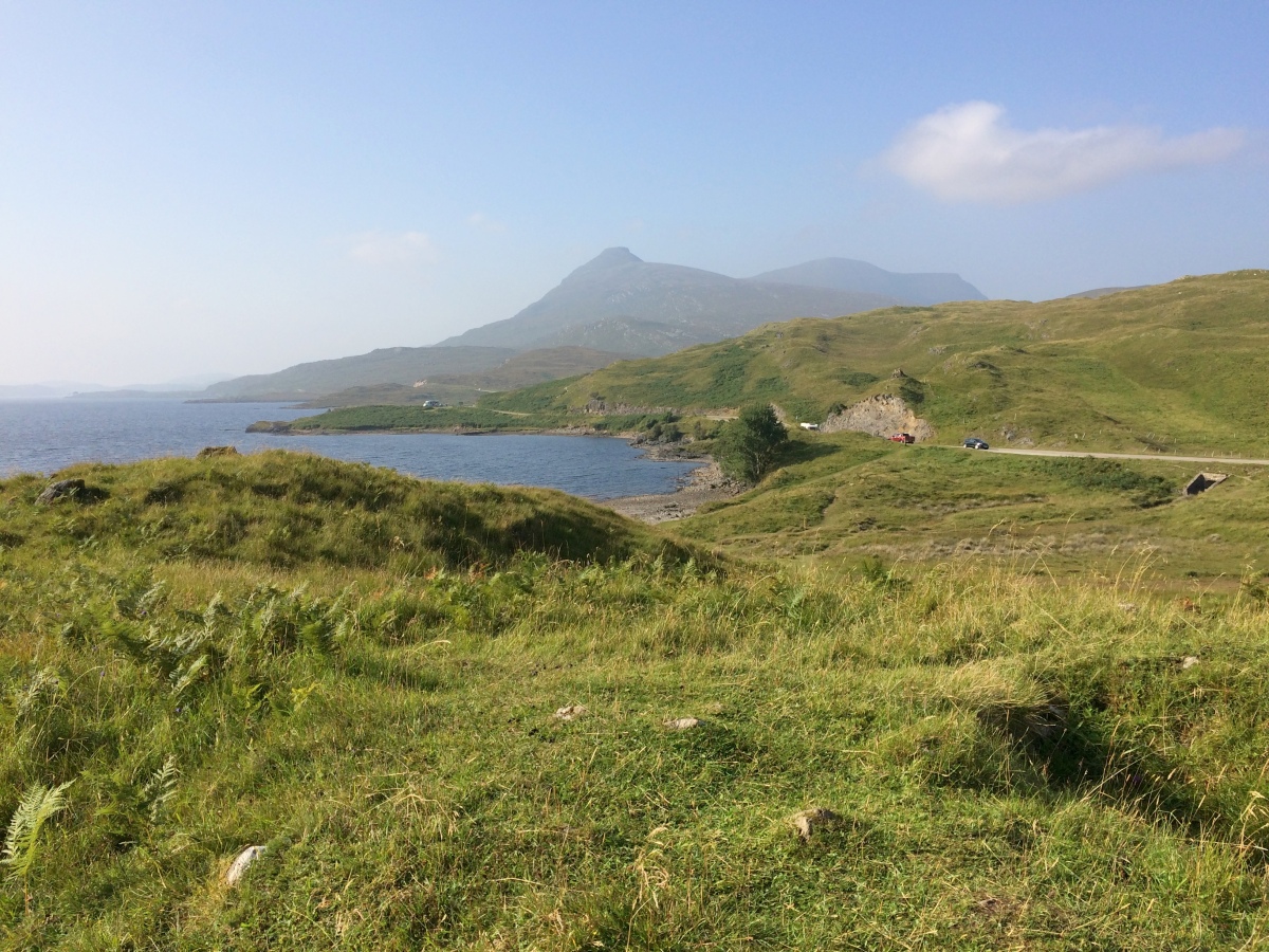
Ardvreck submitted by markj99 on 8th Sep 2021. Ardvreck Chambered Cairn viewed from SE looking towards Quinag.
(View photo, vote or add a comment)
Log Text: Ardvreck Chambered Cairn lies c. 250 yards NE of Ardvreck Castle. Therein lies the problem. Thousands of people walk past an anonymous grass mound transfixed by its more attractive companion. I myself was guilty of this on my first visit. It was only on my second visit to Ardvreck that I targeted the cairn using its grid reference.
Ach A' Chorrain Cairn
Date Added: 14th May 2024
Site Type: Cairn
Country: Scotland (Sutherland)
Visited: Yes on 3rd Sep 2021. My rating: Condition 3 Ambience 4 Access 3
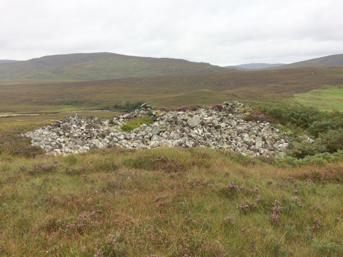
Ach A' Chorrain Cairn submitted by markj99 on 13th Sep 2021. Ach A' Chorrain Cairn viewed from E.
(View photo, vote or add a comment)
Log Text: I approached Ach A' Chorrain Cairn across pathless moorland from a passing place at NC 3680 6238, c. 350 yards W of the cairn.
Ach A' Chorrain Chambered Cairn
Date Added: 24th Oct 2024
Site Type: Chambered Cairn
Country: Scotland (Sutherland)
Visited: Yes on 3rd Sep 2021. My rating: Condition 3 Ambience 4 Access 3
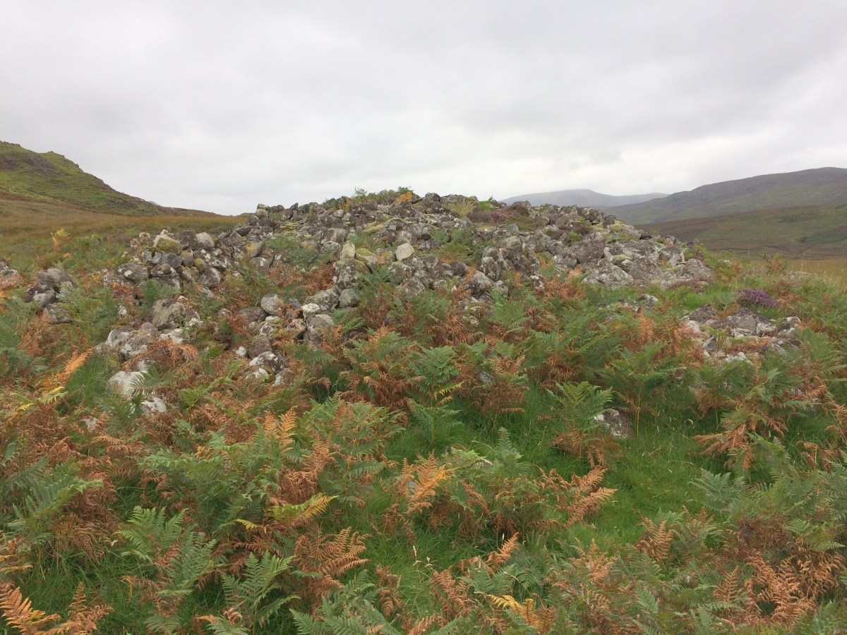
Ach A' Chorrain Chambered Cairn submitted by markj99 on 13th Sep 2021. Ach A' Chorrain Chambered Cairn viewed from N.
(View photo, vote or add a comment)
Log Text: I accessed Ach A' Chorrain Chambered Cairn from a parking place at NC 3694 6256. I walked c. 300 yards SE across moorland on a vague path to the stony cairn.
Kyle of Durness Cairn
Date Added: 14th May 2024
Site Type: Round Cairn
Country: Scotland (Sutherland)
Visited: Yes on 3rd Sep 2021. My rating: Condition 3 Ambience 5 Access 4
Kyle of Durness Cairn submitted by SumDoood on 25th Dec 2019. From the north.
(View photo, vote or add a comment)
Log Text: Kyle of Durness Cairn is the best preserved cairn of the group with an exposed central cairn. I parked at NC37156233, following a rough path SE for c. 300 yards towards an obvious stony mound.
Sarsgrum
Date Added: 14th May 2024
Site Type: Cairn
Country: Scotland (Sutherland)
Visited: Yes on 3rd Sep 2021. My rating: Condition 2 Ambience 3 Access 4
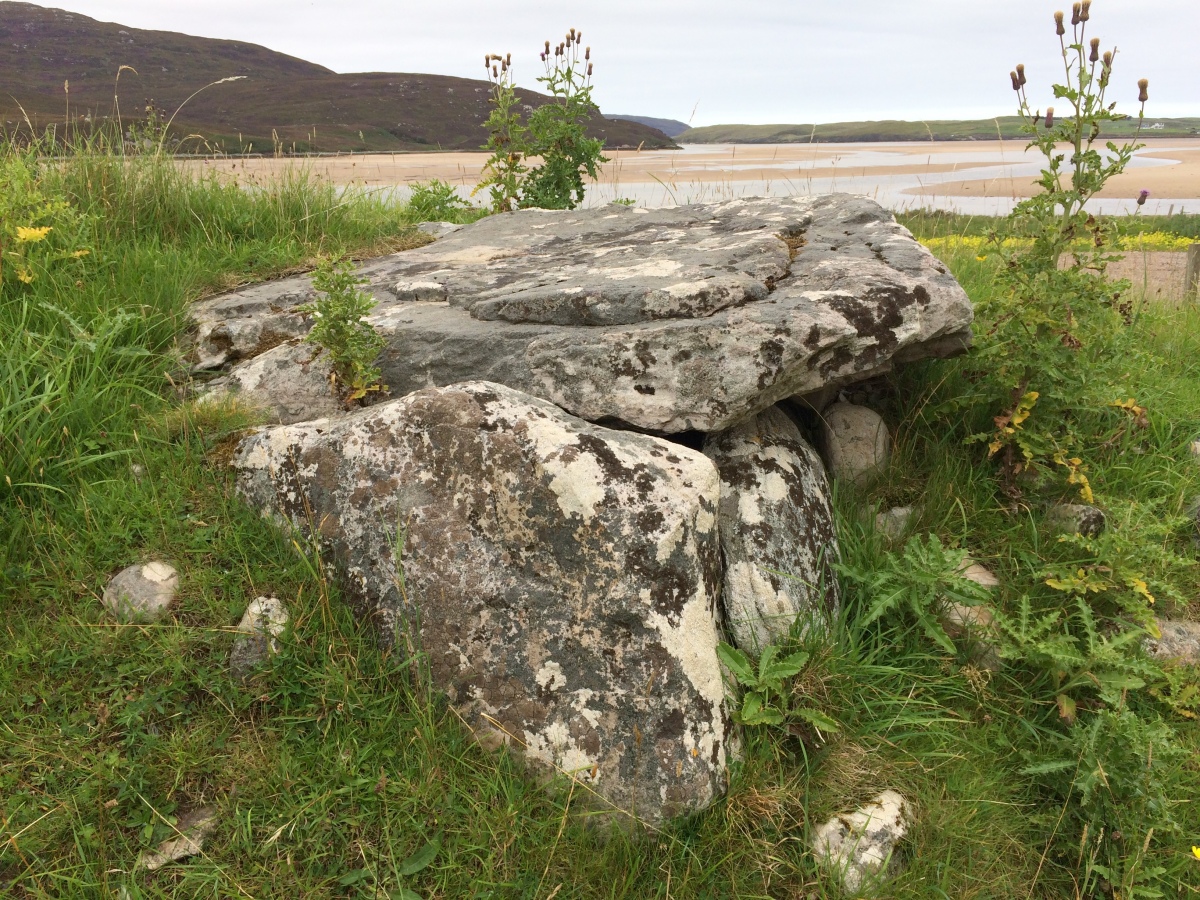
Sarsgrum submitted by markj99 on 13th Sep 2021. Exposed Chamber in E Arc of Sarsgrum Chambered Cairn.
(View photo, vote or add a comment)
Log Text: The main feature of Sarsgrum Cairn is the exposed chamber beside the road which can be viewed on passing. It is possible to park in a passing place c. 100 yards N to have a closer view of the mound.
