<< Our Photo Pages >> Portheras Barrow - Round Barrow(s) in England in Cornwall
Submitted by JimChampion on Wednesday, 24 October 2007 Page Views: 6112
Neolithic and Bronze AgeSite Name: Portheras Barrow Alternative Name: Portherras BarrowCountry: England County: Cornwall Type: Round Barrow(s)
Nearest Town: St Just
Map Ref: SW39143326
Latitude: 50.141902N Longitude: 5.652322W
Condition:
| 5 | Perfect |
| 4 | Almost Perfect |
| 3 | Reasonable but with some damage |
| 2 | Ruined but still recognisable as an ancient site |
| 1 | Pretty much destroyed, possibly visible as crop marks |
| 0 | No data. |
| -1 | Completely destroyed |
| 5 | Superb |
| 4 | Good |
| 3 | Ordinary |
| 2 | Not Good |
| 1 | Awful |
| 0 | No data. |
| 5 | Can be driven to, probably with disabled access |
| 4 | Short walk on a footpath |
| 3 | Requiring a bit more of a walk |
| 2 | A long walk |
| 1 | In the middle of nowhere, a nightmare to find |
| 0 | No data. |
| 5 | co-ordinates taken by GPS or official recorded co-ordinates |
| 4 | co-ordinates scaled from a detailed map |
| 3 | co-ordinates scaled from a bad map |
| 2 | co-ordinates of the nearest village |
| 1 | co-ordinates of the nearest town |
| 0 | no data |
Internal Links:
External Links:
I have visited· I would like to visit
hallsifer visited on 1st Feb 2023 - their rating: Cond: 3 Amb: 4 Access: 4 Quite easy to reach from a trail start right near a road, gorgeous barrow with a chambered area that's almost invisible until you're on top of the barrow or at the right angle outside of the stone perimiter.
SandyG visited on 17th Sep 2019 - their rating: Cond: 3 Amb: 4 Access: 4
rosecapybara515 visited on 22nd Jun 2019 - their rating: Cond: 2 Amb: 4 Access: 3
lucasn visited on 12th May 2019 - their rating: Cond: 4 Amb: 3 Access: 5
Bladup JimChampion have visited here
Average ratings for this site from all visit loggers: Condition: 3 Ambience: 3.75 Access: 4
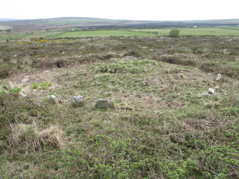
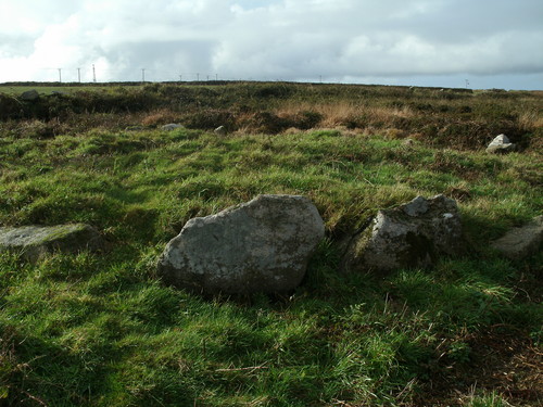
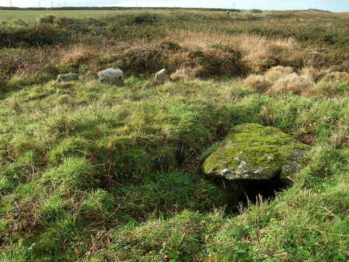
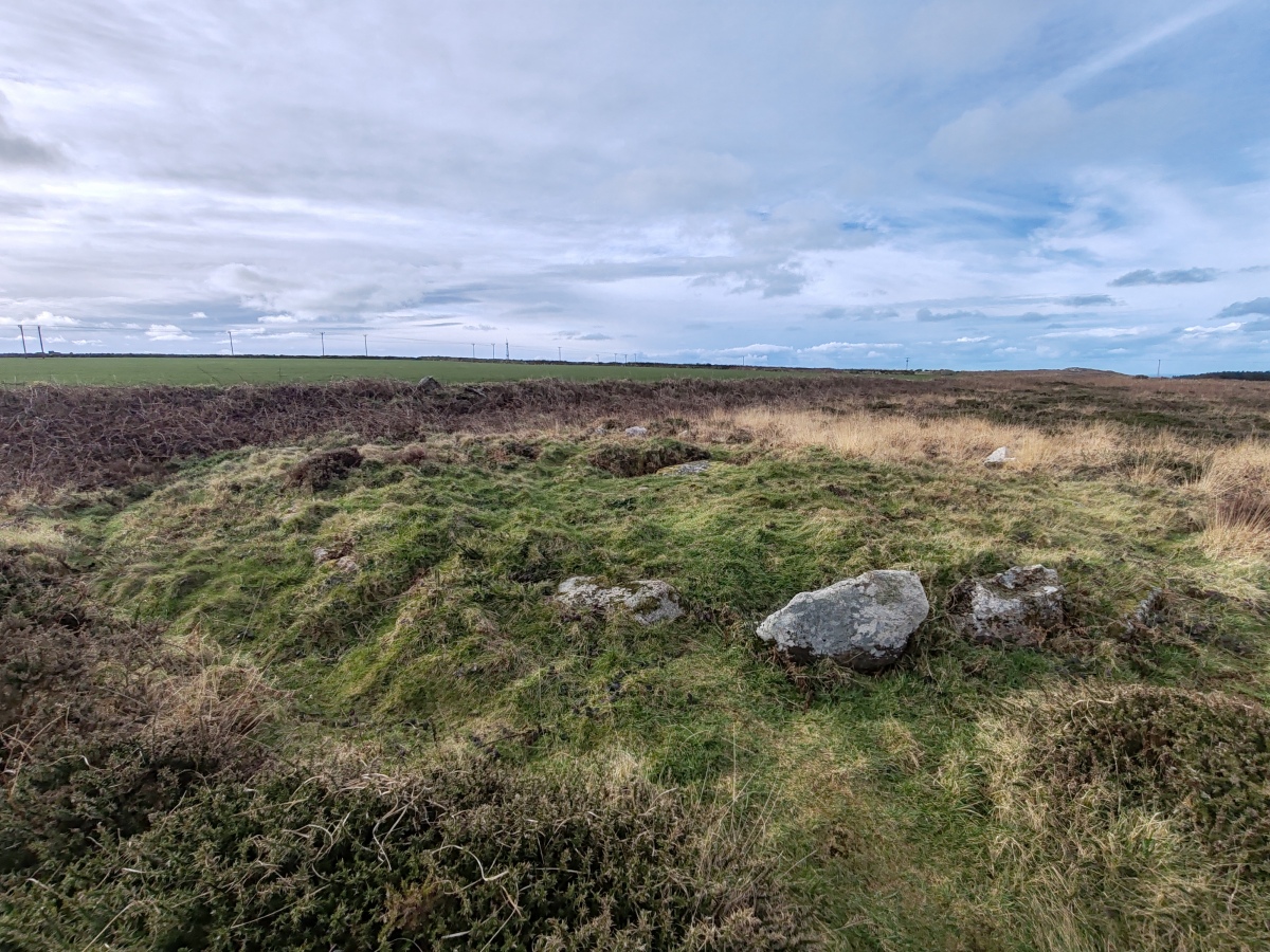
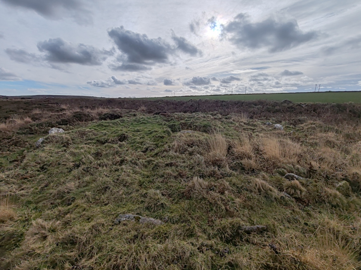
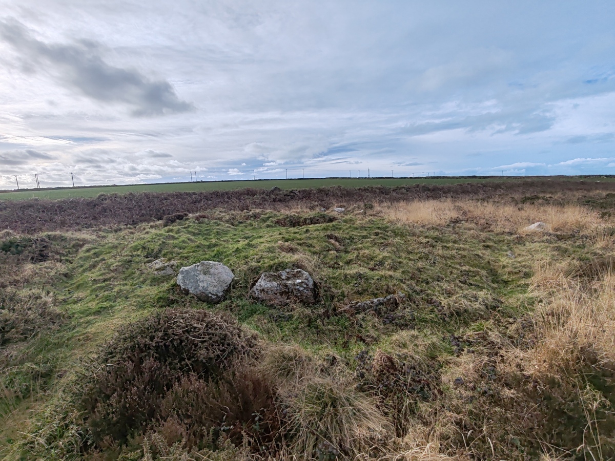
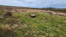
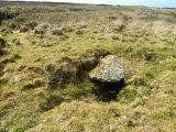
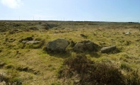
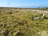
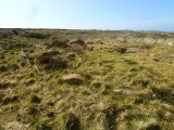
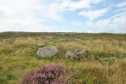
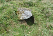
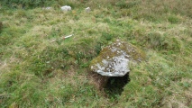
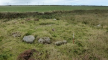
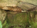
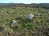
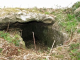
A 2 foot 6 inch high round barrow of 40 feet in diameter. Much of the mound's stone kerb remains and in its centre is a well preserved cist 4 feet long x 2 feet wide roofed by a 6 foot capstone.
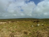
Located up against a stone wall, the site lies 50 yards along on the right hand side of a footpath leading south-east off the Trewellard branch of the B3318 about a mile east of Trewellard. It is much overgrown in the summer months making it very difficult to find.
The monument scheduling says that a cupped stone may have been found in the barrow during an 18th century excavation.
You may be viewing yesterday's version of this page. To see the most up to date information please register for a free account.

These are just the first 25 photos of Portheras Barrow. If you log in with a free user account you will be able to see our entire collection.
Do not use the above information on other web sites or publications without permission of the contributor.
Click here to see more info for this site
Nearby sites
Key: Red: member's photo, Blue: 3rd party photo, Yellow: other image, Green: no photo - please go there and take one, Grey: site destroyed
Download sites to:
KML (Google Earth)
GPX (GPS waypoints)
CSV (Garmin/Navman)
CSV (Excel)
To unlock full downloads you need to sign up as a Contributory Member. Otherwise downloads are limited to 50 sites.
Turn off the page maps and other distractions
Nearby sites listing. In the following links * = Image available
219m ENE 63° Woon Gumpus Barrows Round Barrow(s) (SW39343335)
246m SSE 151° Boslow Cross* Ancient Cross (SW39253304)
372m S 183° Carnyorth Circles Ancient Village or Settlement (SW39103289)
427m SW 230° Carn Kenidjack* Rock Outcrop (SW388330)
454m SW 227° Carn Kenidjack propped stone* Natural Stone / Erratic / Other Natural Feature (SW38793297)
493m ESE 109° Woon Gumpus Menhirs* Natural Stone / Erratic / Other Natural Feature (SW3960033079)
561m S 181° Carn Kenidjack Hut Circle and Enclosure Ancient Village or Settlement (SW391327)
580m ESE 103° Woon Gumpas Common Tumuli* Barrow Cemetery (SW397331)
653m S 189° Kenidjack Common holed stones* Stone Row / Alignment (SW39013262)
743m SSW 197° Truthwall Common barrows* Round Barrow(s) (SW38893256)
875m W 259° Carnbean Barrows* Round Barrow(s) (SW38273314)
883m SW 225° Truthwall Commom Ancient Village or Settlement (SW38483267)
890m NNW 327° Higher Boscaswell Well* Holy Well or Sacred Spring (SW3869434032)
910m WNW 300° Carn Eanes Standing stone* Modern Stone Circle etc (SW38373375)
942m ESE 110° Boswens Menhir* Standing Stone (Menhir) (SW40013289)
1.0km SSW 205° Tregeseal East* Stone Circle (SW38663237)
1.0km SSW 208° Tregeseal C* Stone Circle (SW38613238)
1.0km NW 310° Carn Eanes Cairn* Cairn (SW38373397)
1.0km SSW 211° Tregeseal W Stone Circle (SW38553239)
1.1km ENE 74° Chun Downs Tumulus* Round Barrow(s) (SW402335)
1.2km SW 231° Truthwall Barrow* Round Barrow(s) (SW38183257)
1.2km WSW 244° Camyorth Field System Misc. Earthwork (SW38023278)
1.2km WSW 237° No Go By Hill Field System* Misc. Earthwork (SW38083265)
1.3km NE 54° Chun Quoit* Chambered Cairn (SW40223396)
1.3km SSE 151° Wheal Buller Settlement* Ancient Village or Settlement (SW397321)
View more nearby sites and additional images


 We would like to know more about this location. Please feel free to add a brief description and any relevant information in your own language.
 Wir möchten mehr über diese Stätte erfahren. Bitte zögern Sie nicht, eine kurze Beschreibung und relevante Informationen in Deutsch hinzuzufügen.
 Nous aimerions en savoir encore un peu sur les lieux. S'il vous plaît n'hesitez pas à ajouter une courte description et tous les renseignements pertinents dans votre propre langue.
 Quisieramos informarnos un poco más de las lugares. No dude en añadir una breve descripción y otros datos relevantes en su propio idioma.